
I
History
The name Windy Nook derives from "the lofty and exposed nature of the situation it occupies". In 1784, Richard Kell began quarrying at Heworth Shore. His business expanded quickly and, by the turn of the 19th century,…
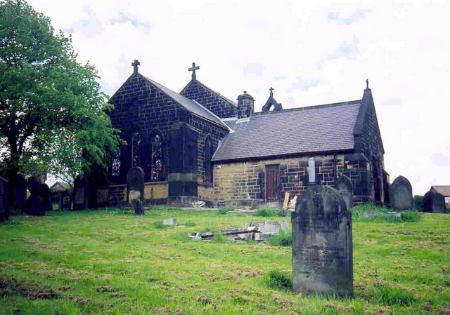
Windy Nook is an area in Tyne and Wear, England, bordered by Carr Hill to the west, Whitehills Estate and Leam Lane Estate to the east, Felling to the north and Sheriff Hill to the south. It lies on steep, sloping land 2.25 miles (3.62 km) south of Gateshead, 2.75 miles (4.43 km) south of Newcastle upon Tyne and 12 miles (19 km) north of Durham. In 2011, the Windy Nook and Whitehills ward had a population of 9,781. Formerly part of Heworth, it was incorporated into the newly formed Metropolitan Borough of Gateshead on 1 April 1974.
County
Tyne and Wear
Known for
Human settlement in England
The story of Windy Nook — from the archive to today.
The name Windy Nook derives from "the lofty and exposed nature of the situation it occupies". In 1784, Richard Kell began quarrying at Heworth Shore. His business expanded quickly and, by the turn of the 19th century,…
The decline of heavy industry in the 20th century left Windy Nook with no major employer and there was little in terms of economic activity. There is no major commercial area and residents usually travel to neighbouring…
At latitude 54.938° N and longitude 1.5703° W, Windy Nook lies 2.25 miles (3.62 km) south-east of Gateshead and 255 miles (410 km) from London. It sits on a bed of coal, freestone and sandstone known locally as the…
According to the United Kingdom Census 2001, Windy Nook has a population of 2,628 – 52% of the population are female, slightly above the national average, whilst 48% are male. Less than 1% of the…
The population of Windy Nook rose steadily through the 19th century but decreased as industry declined and is now at the lowest level since 1842.
Windy Nook was initially an ecclesiastical district in the parish of Jarrow, but after the Local Government Act 1972, it is today wholly within the council ward of Windy Nook and Whitehills in the…
Windy Nook Primary school is at Albion Street and caters for students aged between 3 and 11 years. It is a much larger than average-sized school though the number of students eligible for free school…
Venues nearby
Museums, theatres and attractions — not business listings.
heritage
Felling
heritage
Felling
venue
Gateshead
club
Gateshead
venue
Gateshead
venue
Gateshead
venue
Newcastle upon Tyne
venue
Newcastle upon Tyne
Walks nearby
Assigned walks plus nearby routes within a short drive.
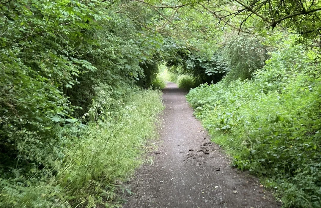
moderate · 8.5km
Gateshead
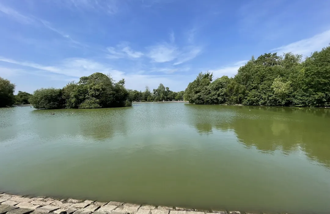
moderate · 2.4km
Gateshead
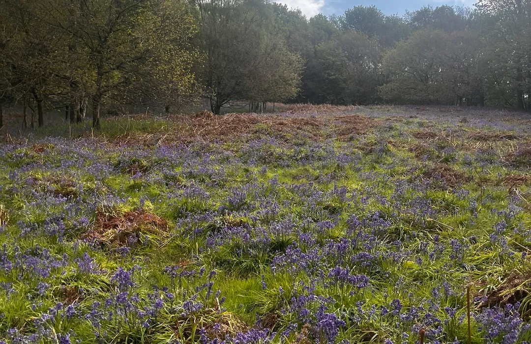
easy · 3.4km
Washington
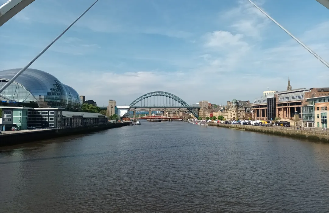
moderate · 7.9km
Newcastle upon Tyne

moderate · 8.9km
Newcastle upon Tyne
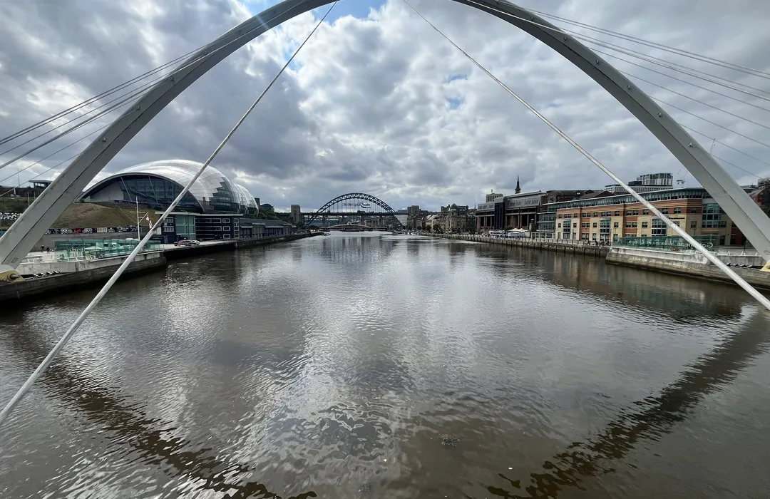
moderate · 21.2km
Hebburn
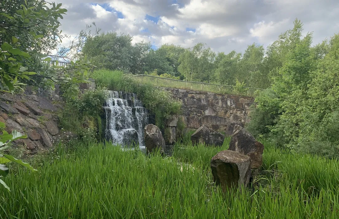
easy · 4.7km
Gateshead
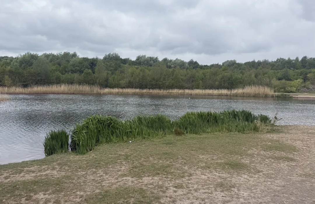
easy · 2.3km
Gateshead
MyTyne directory
Places near Windy Nook from the MyTyne directory.
Pubs
Felling
Builders
Felling
Builders
Felling
Builders
Felling
Builders
Felling
Hairdressers
Felling
Hairdressers
Felling
Photographers
Felling
What's on

Tue 21 Jul · Standard
Low Fell Library · Gateshead

Fri 24 Jul · Standard
Little Theatre · Gateshead

Sat 25 Jul · Standard
Little Theatre · Gateshead
Tue 21 Jul · Standard
Shipley Art Gallery · Gateshead
Thu 23 Jul · Standard
Shipley Art Gallery · Gateshead

Fri 24 Jul
Vue Gateshead · Gateshead
Windy Nook · 54.9383, -1.5707
Map data © OpenStreetMap contributors.
Explore the map, browse nearby guides, and find what's on across Tyne & Wear.