
I
Demography
The data below shows that 51.4% of the population in Whickham South and Sunniside are female, which is above the national average (50.8%), as well as being above average within the Metropolitan Borough of Gateshead…

Sunniside is a village in the Metropolitan Borough of Gateshead, which is located around 5.5 miles (9 km) from Newcastle upon Tyne. Prior to the creation of the county of Tyne and Wear in 1974, it was part of Whickham Urban District, which in turn formed a part of County Durham. Sunniside has a busy Front Street, with a collection of pubs, shops, and amenities. The village is surrounded mainly by farmland, with plantations of trees to the east, whilst also neighbouring the villages of Byermoor, Marley Hill and Whickham.
County
Tyne and Wear
Known for
Village in Tyne and Wear, England
The story of Sunniside, Gateshead — from the archive to today.
The data below shows that 51.4% of the population in Whickham South and Sunniside are female, which is above the national average (50.8%), as well as being above average within the Metropolitan Borough of Gateshead…
In terms of primary education, students attend the nearby Clover Hill Primary School Fellside Primary School and Washingwell Primary Scool in Whickham, as well as Sacred Heart Primary School in Byermoor. Whickham School…
Whickham South and Sunniside is a local council ward in the Metropolitan Borough of Gateshead. This ward covers an area of around 5.6 square miles (14.5 km2), and has a population of 8,313. As of September 2020, the…
The nearest airport is Newcastle International Airport, which is around 10 miles (16 km) away by road. Teesside International Airport and Carlisle Lake District Airport are around 37 and 54 miles (60…
Sunniside is served by eight buses per hour to Newcastle upon Tyne and Stanley, with six buses per hour to Gateshead and three buses per hour to Consett, as well as a half-hourly service to Whickham…
The nearest National Rail stations are located at MetroCentre and Newcastle.
The main road through the village is the A692, which runs 13.6 miles (21.9 km) from the A68 at Castleside to the A1 at Lobley Hill.
Venues nearby
Museums, theatres and attractions — not business listings.
club
Whickham
venue
Winlaton Mill
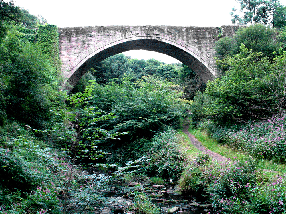
heritage
Rowlands Gill
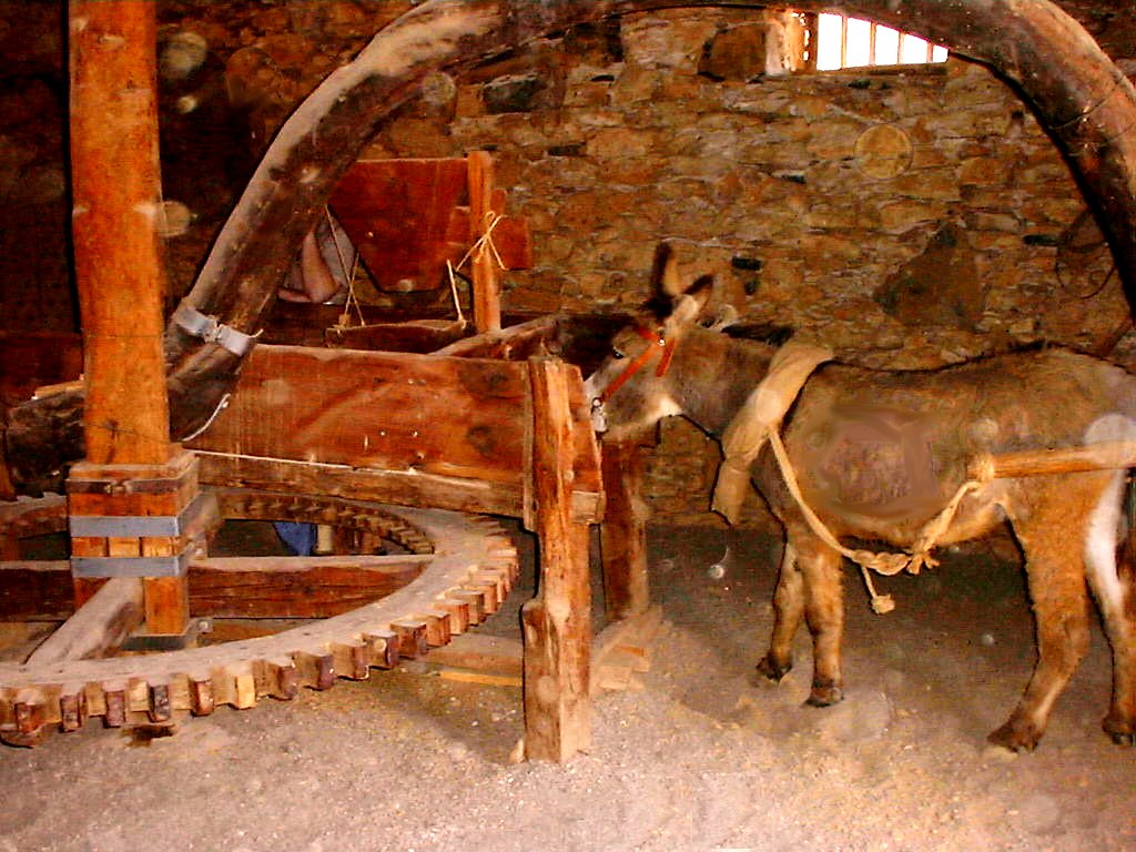
venue
Beamish
venue
Blaydon-on-tyne
heritage
Rowlands Gill
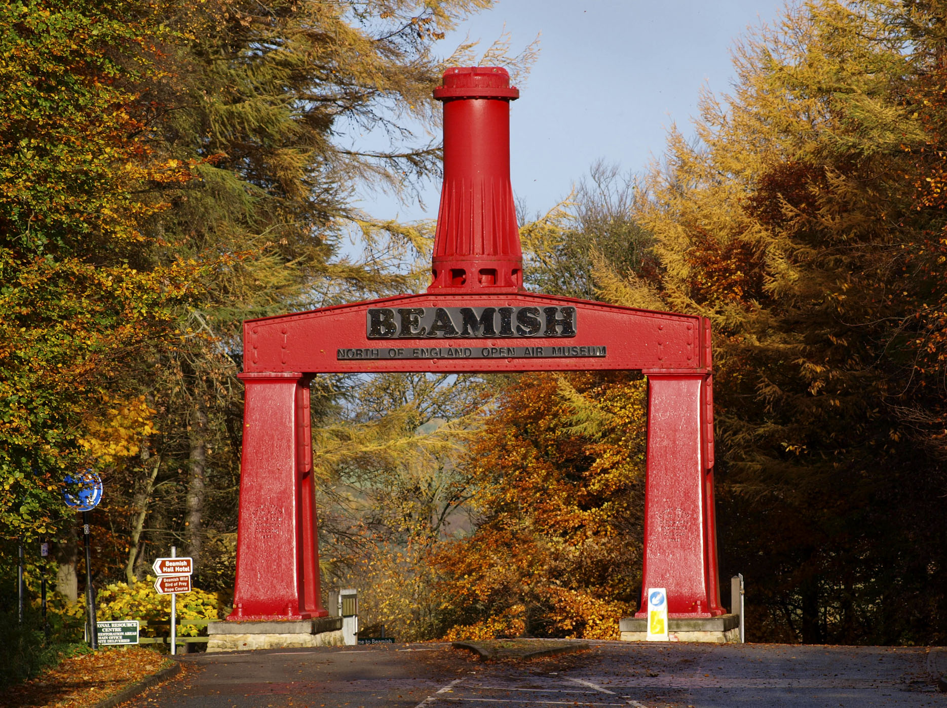
museum
Beamish
venue
Gateshead
Walks nearby
Assigned walks plus nearby routes within a short drive.
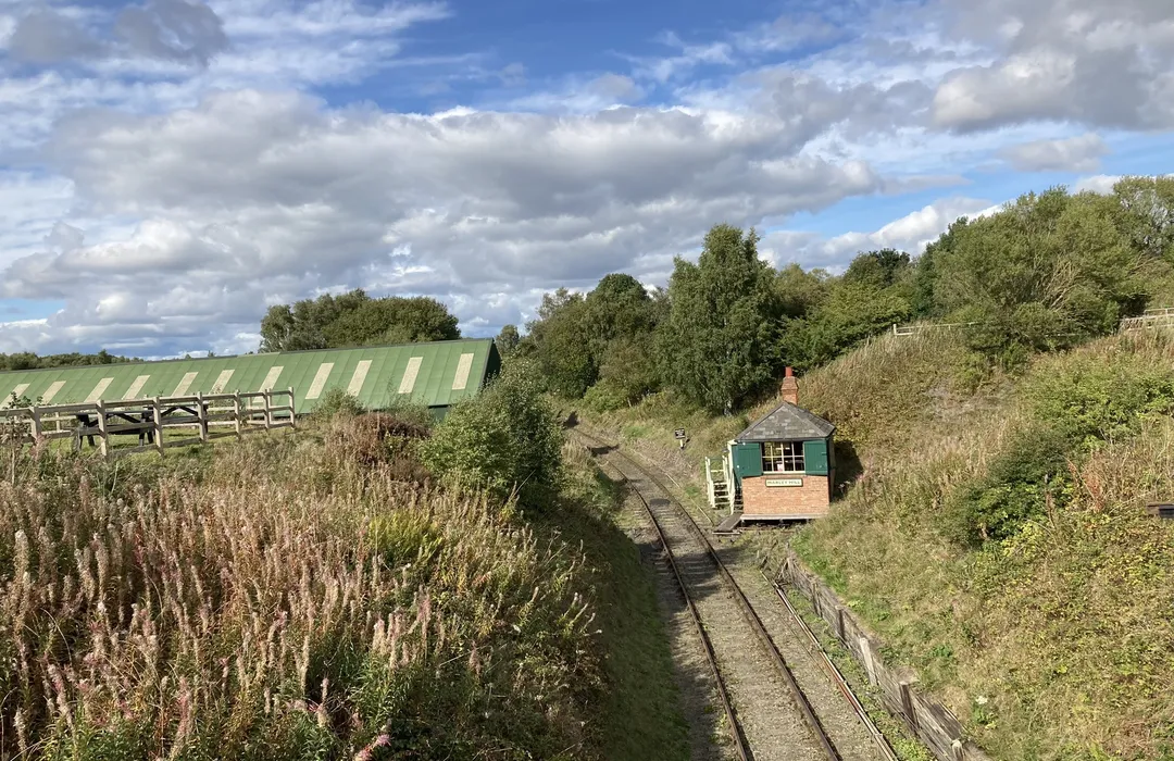
moderate · 7.7km
Newcastle upon Tyne
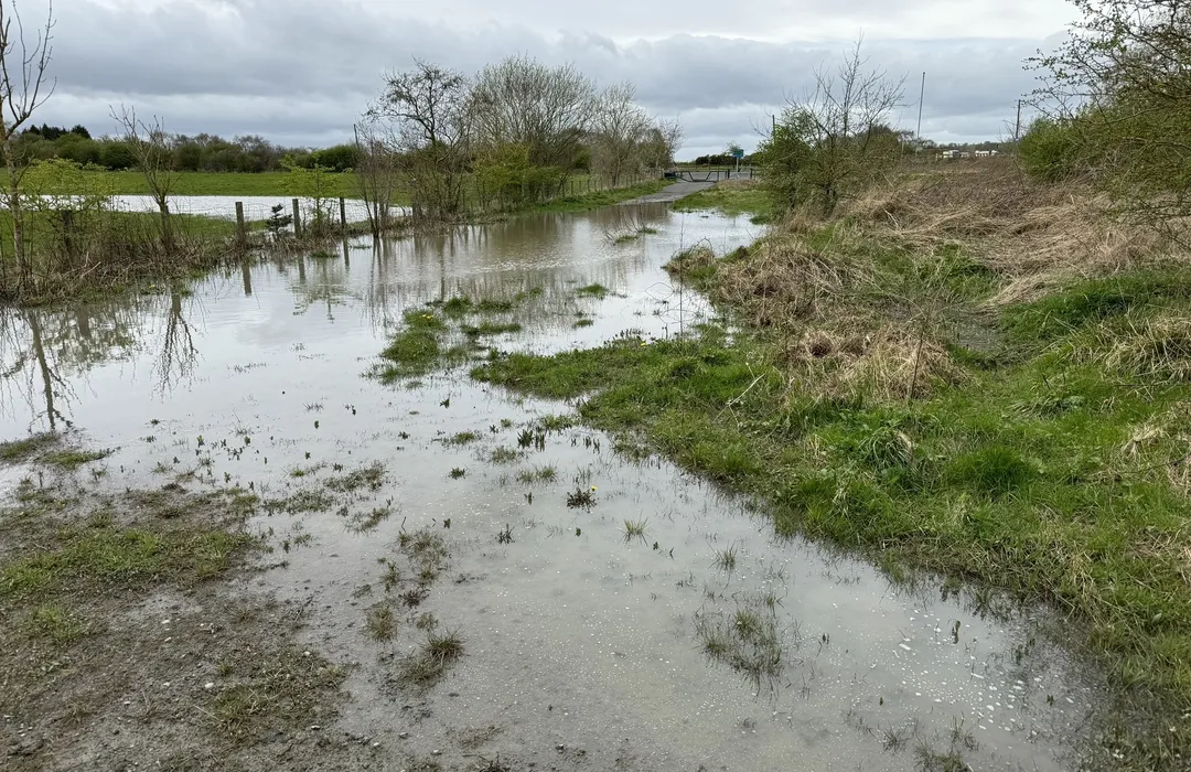
moderate · 15km
Newcastle upon Tyne
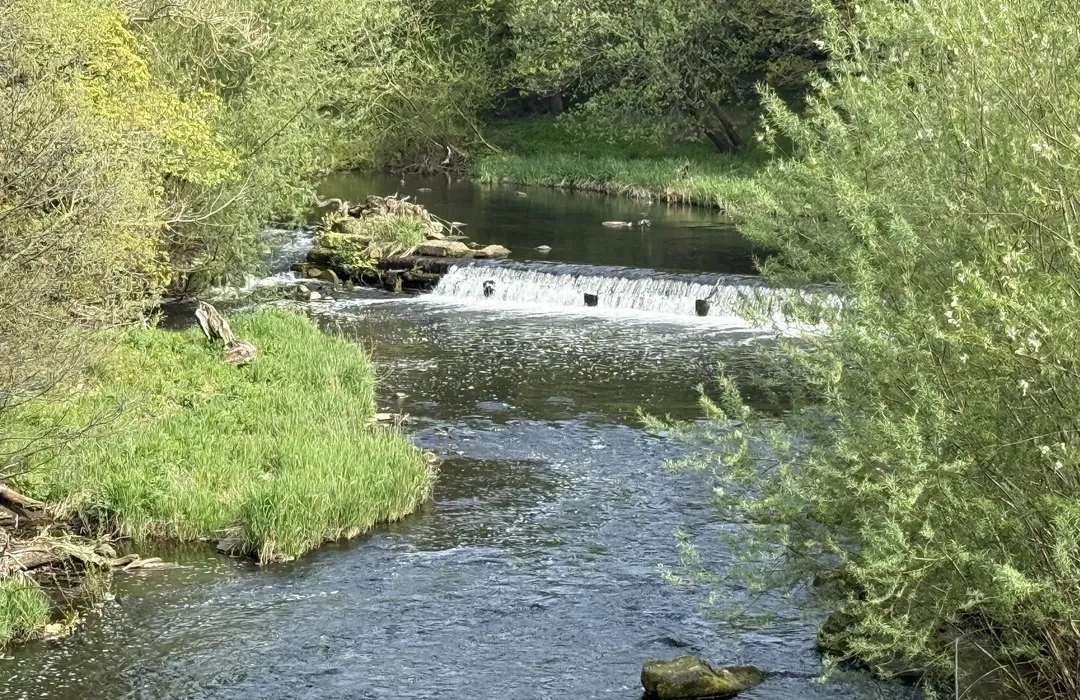
hard · 18.3km
Blaydon-on-Tyne
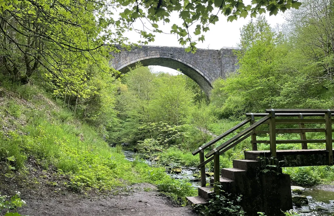
moderate · 6.6km
Stanley
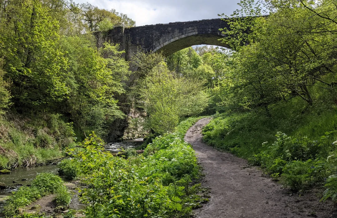
moderate · 13.8km
Stanley
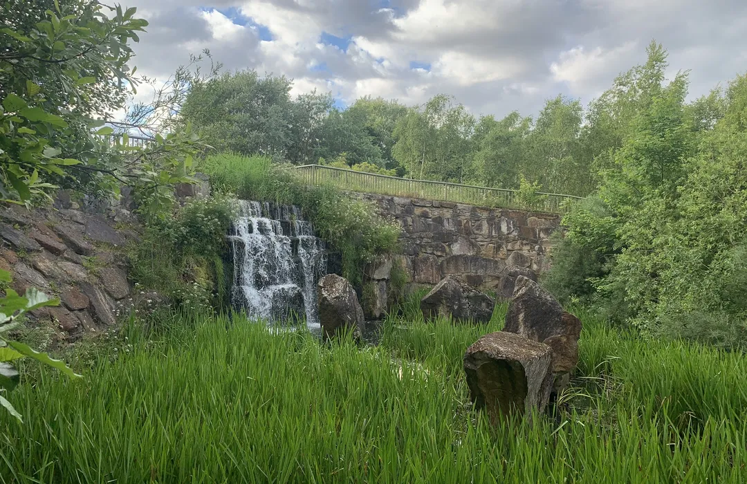
easy · 4.7km
Gateshead
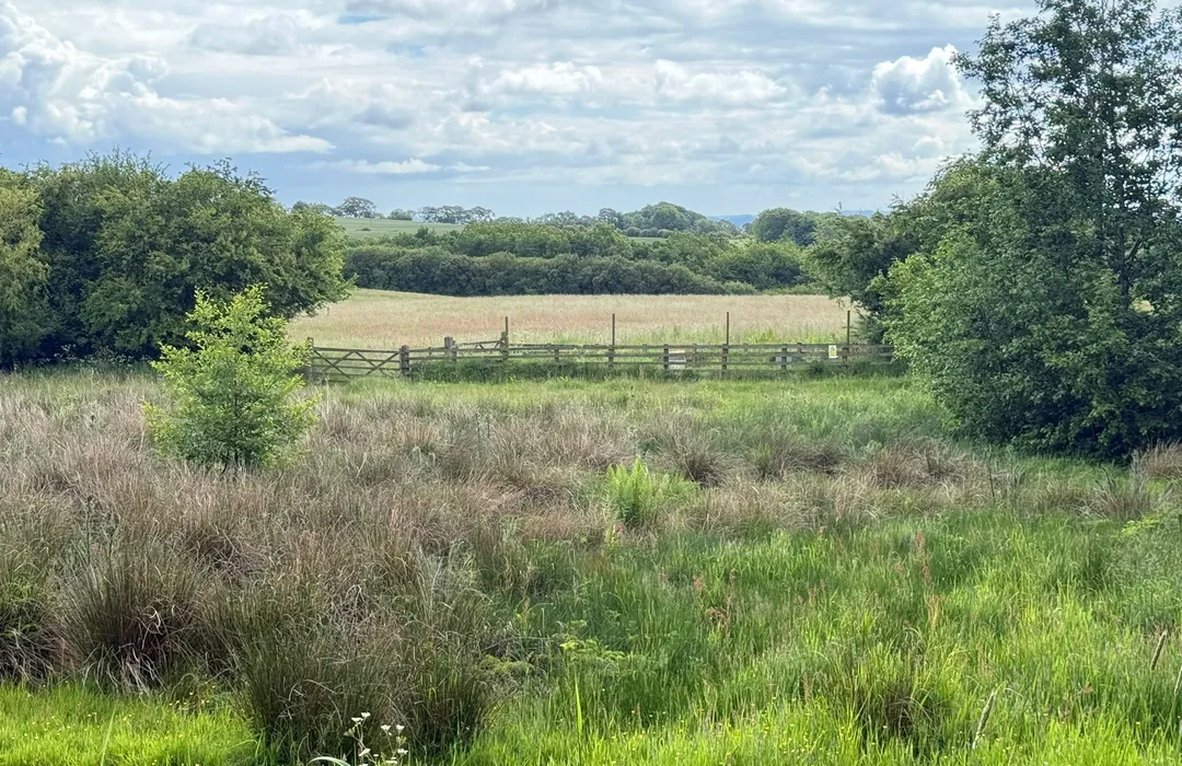
easy · 6.6km
Newcastle upon Tyne
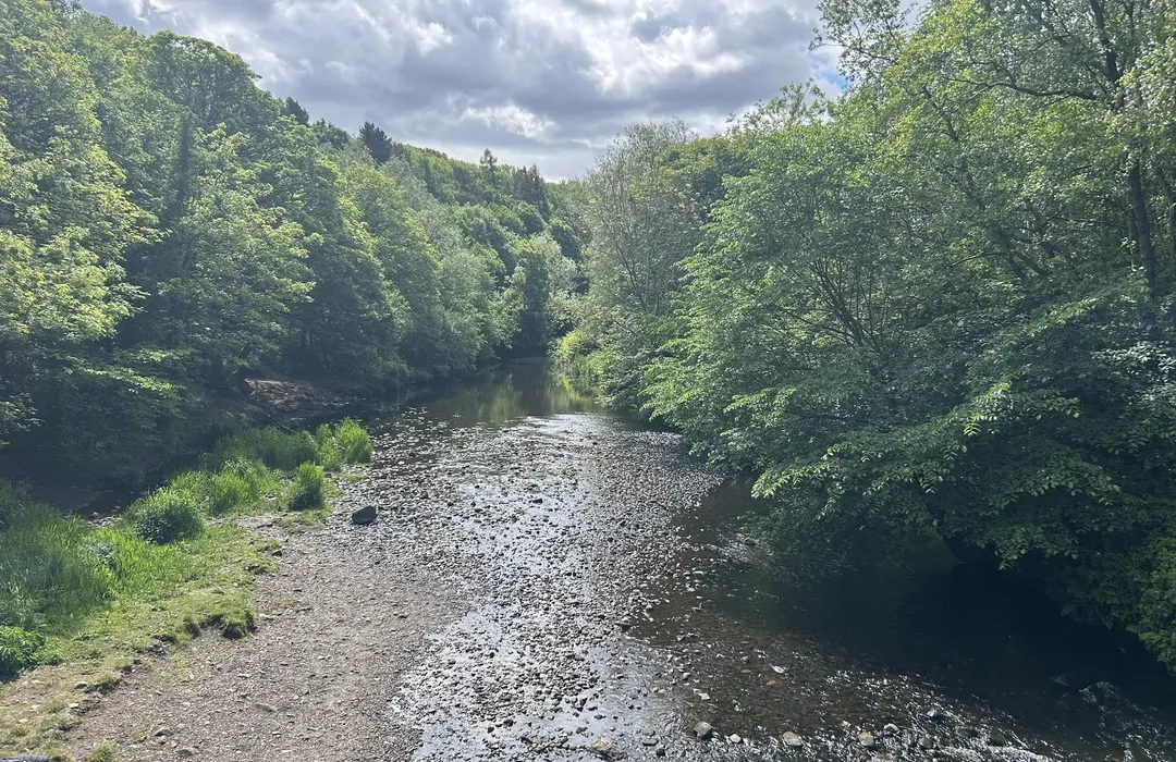
moderate · 3.1km
Rowlands Gill
MyTyne directory
Places near Sunniside, Gateshead from the MyTyne directory.
What's on


Sun 12 Jul
Odeon Metrocentre · Gateshead

Thu 16 Jul
Odeon Metrocentre · Gateshead

Tue 21 Jul · Standard
Low Fell Library · Gateshead

Fri 24 Jul · Standard
Little Theatre · Gateshead

Sat 25 Jul · Standard
Little Theatre · Gateshead

Tue 21 Jul · Standard
Shipley Art Gallery · Gateshead
Sunniside, Gateshead · 54.9260, -1.6820
Map data © OpenStreetMap contributors.
Explore the map, browse nearby guides, and find what's on across Tyne & Wear.