
I
Toponymy
In c. 674, King Ecgfrith granted Benedict Biscop a "sunder-land". In 685 The Venerable Bede moved to the newly founded Jarrow monastery. He had started his monastic career at Monkwearmouth monastery and later wrote that…

Sunderland is a port city in the county of Tyne and Wear, North East England. It is a port at the mouth of the River Wear on the North Sea, approximately 10 miles (16 km) south-east of Newcastle upon Tyne. It is the most populous settlement in the Wearside conurbation and the second-most populous settlement, after Newcastle. It is the administrative centre of the wider Metropolitan Borough of Sunderland.
County
Tyne and Wear
Known for
City in Tyne and Wear, England
The story of Sunderland — from the archive to today.
In c. 674, King Ecgfrith granted Benedict Biscop a "sunder-land". In 685 The Venerable Bede moved to the newly founded Jarrow monastery. He had started his monastic career at Monkwearmouth monastery and later wrote that…
The earliest inhabitants of the Sunderland area were Stone Age hunter-gatherers. Artefacts from this era have been discovered, including microliths found during excavations at St Peter's Church, Monkwearmouth. During…
Rapid growth of the port was prompted by the salt trade. Salt exports from Sunderland are recorded from as early as the 13th century, by 1589 salt pans were laid at Bishopwearmouth Panns (the modern-day name of the area…
Places and stories connected to Sunderland.

Roker is a seaside resort in Sunderland, city of Sunderland district, Tyne and Wear. England. It is located north of the River Wear and…

Seaburn is a seaside resort and northeastern suburb of Sunderland, North East England. The village of Whitburn borders the area to the…

The National Glass Centre is a cultural venue and visitor attraction located in Sunderland, North East England. It is part of the University of Sunderland.
Sunderland's shipbuilding industry continued to grow through most of the 19th century, becoming the town's dominant industry and a defining part of its identity. By 1815 it was 'the leading…
From 1900 to 1919, an electric tram system was built and was gradually replaced by buses during the 1940s before being ended in 1954. In 1909 the Queen Alexandra Bridge was built, linking Deptford…
Sunderland received city status in 1992. Like many cities, Sunderland comprises a number of areas with their own distinct histories, Fulwell, Monkwearmouth, Roker, and Southwick on the northern side…
Sunderland is a metropolitan borough with city status, governed by Sunderland City Council. There are three civil parishes within the city boundaries, at Hetton, Burdon, and Warden Law, which form an…
Venues nearby
Museums, theatres and attractions — not business listings.
heritage
Sunderland
heritage
Sunderland
heritage
Sunderland
heritage
Sunderland
heritage
Sunderland
heritage
Sunderland
heritage
Sunderland
heritage
Sunderland
Walks nearby
Assigned walks plus nearby routes within a short drive.
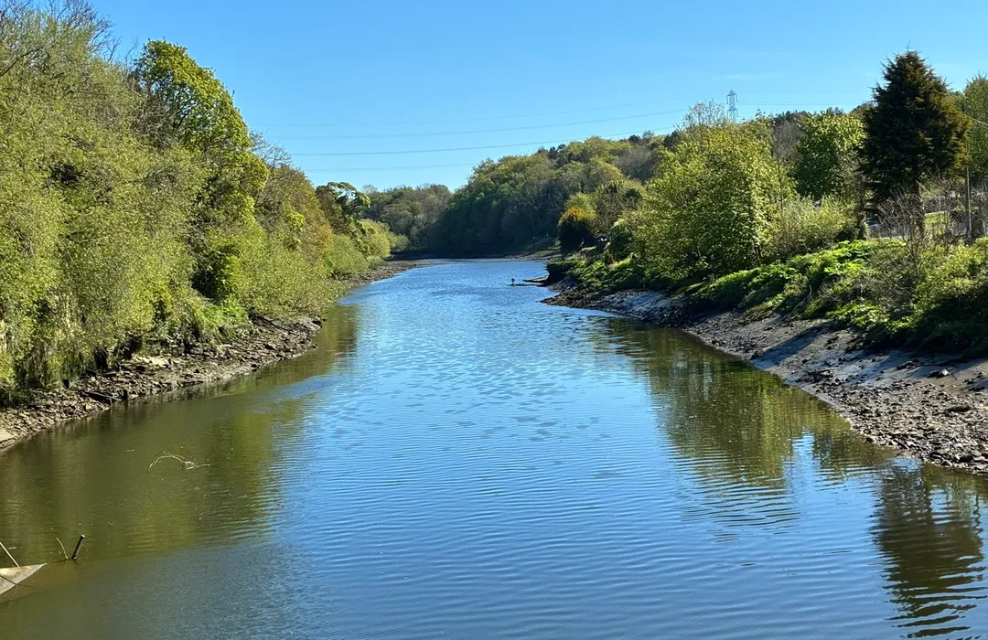
moderate · 11.6km
Houghton-le-Spring
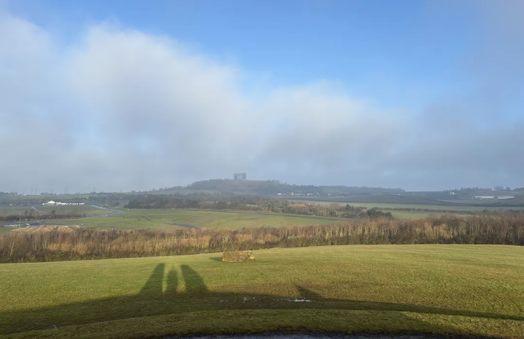
easy · 5.6km
Houghton-le-Spring
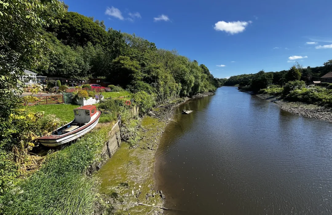
easy · 6.1km
Washington
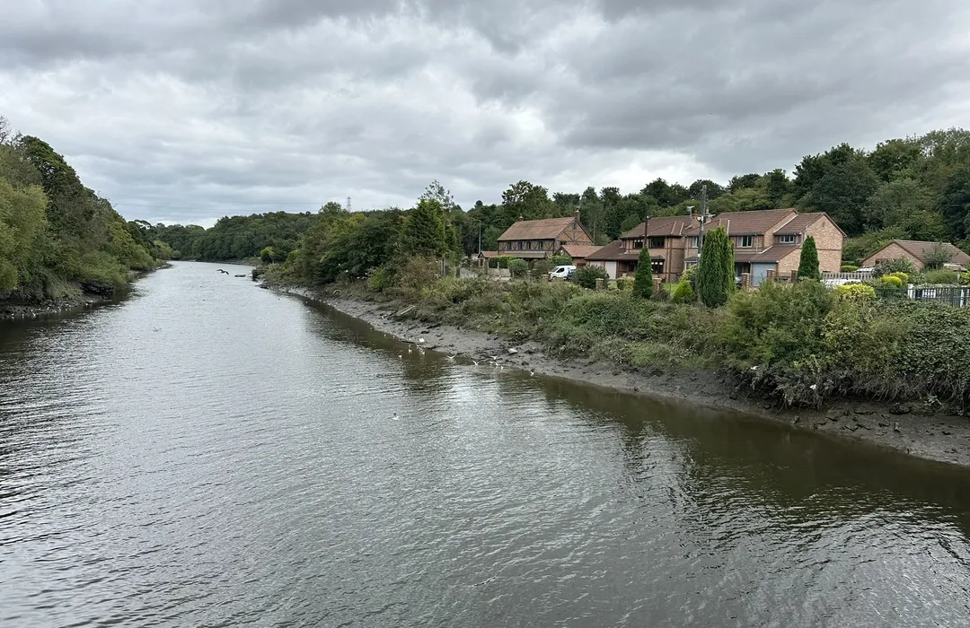
easy · 6.1km
Washington
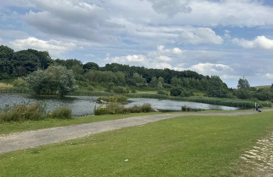
easy · 4.7km
Sunderland
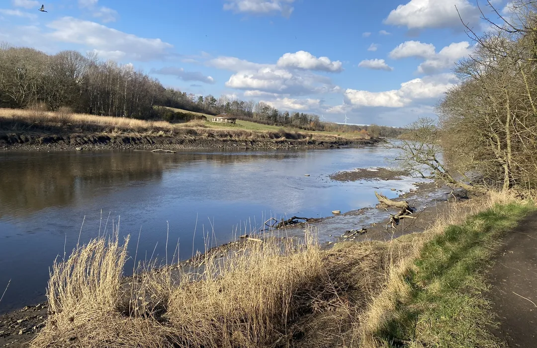
moderate · 8.2km
Sunderland
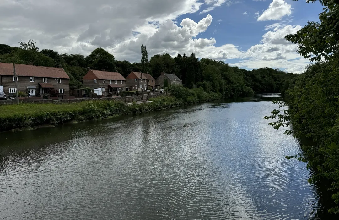
moderate · 11.3km
Washington
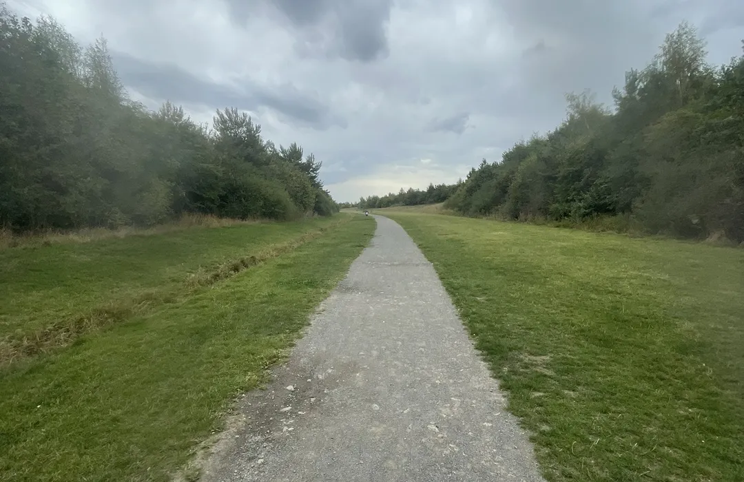
easy · 2.9km
Houghton-le-Spring
MyTyne directory
Places near Sunderland from the MyTyne directory.
Mortgage Brokers
Sunderland
Mortgage Brokers
Sunderland
Mortgage Brokers
Sunderland
Mortgage Brokers
Sunderland
Mortgage Brokers
Sunderland
Mortgage Brokers
Sunderland
Mortgage Brokers
Sunderland
Mortgage Brokers
Sunderland
What's on

Tue 21 Jul · Standard
Low Fell Library · Gateshead
Fri 17 Jul
Gateshead International Stadium · Gateshead
Mon 13 Jul · Standard
Little Theatre · Gateshead

Fri 24 Jul · Standard
Little Theatre · Gateshead

Sat 25 Jul · Standard
Little Theatre · Gateshead
Tue 21 Jul · Standard
Shipley Art Gallery · Gateshead
Sunderland · 54.9044, -1.3811
Map data © OpenStreetMap contributors.
Explore the map, browse nearby guides, and find what's on across Tyne & Wear.