
I
Fenham Barracks
Fenham Barracks was constructed in Spital Tongues in 1806. Several buildings at the site are listed grade II structures. The barracks has been repurposed as student accommodation. The barracks were home to the…

Spital Tongues is a district of Newcastle upon Tyne, located due north-west of the Newcastle City Centre. Its unusual name is believed to be derived from spital – a corruption of the word hospital, commonly found in British place names - and tongues, meaning outlying pieces of land. North of Spital Tongues is the Town Moor, while Castle Leazes and Leazes Park are to the East.
County
Tyne and Wear
Known for
District of Newcastle upon Tyne, England
The story of Spital Tongues — from the archive to today.
Fenham Barracks was constructed in Spital Tongues in 1806. Several buildings at the site are listed grade II structures. The barracks has been repurposed as student accommodation. The barracks were home to the…
Occupying the prominent site on the corner of Hunters Road and Barrack Road, is the BBC Broadcasting Centre, affectionately known as the 'Pink Palace'. Opened in 1986, it brought together the BBC's TV and radio…
Huntsmoor House, Hunters Road, was built as a soldiers' home in 1899 to meet the social needs of those soldiers stationed at Fenham Barracks. During the fifties large steam presses were installed for finishing tailored…
The Chimney Mill was constructed in 1782 in Claremont Road, replacing a previous windmill on the site. Grade II listed, it is significant on a number of levels – as the only surviving smock mill in…
The Victoria Tunnel was built to transport coal from Spital Tongues Colliery, opened in 1836, to the river Tyne. 2+1⁄2 mi (4 km) long and up to 85 ft (26 m) deep, the tunnel was built by 200 men…
The house now called Whiteknights was originally known as New House prior to being opened as a lunatic asylum in 1766. At this time the property was renamed St. Luke's, before changing its name to…
On the corner of Belle Grove Terrace and Ancrum Street, the Belle Grove was a public house dating from 1857 until its closure in 2008. The adjacent house at No. 19, now part of the pub, was once the…
Venues nearby
Museums, theatres and attractions — not business listings.

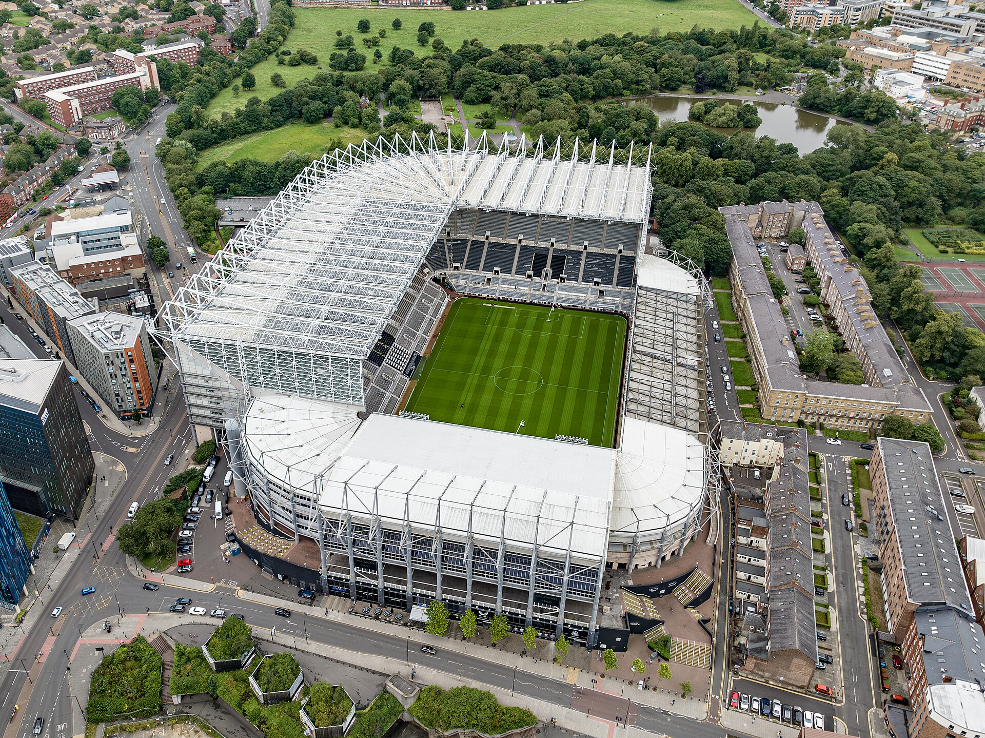
venue
Newcastle
venue
Newcastle upon Tyne
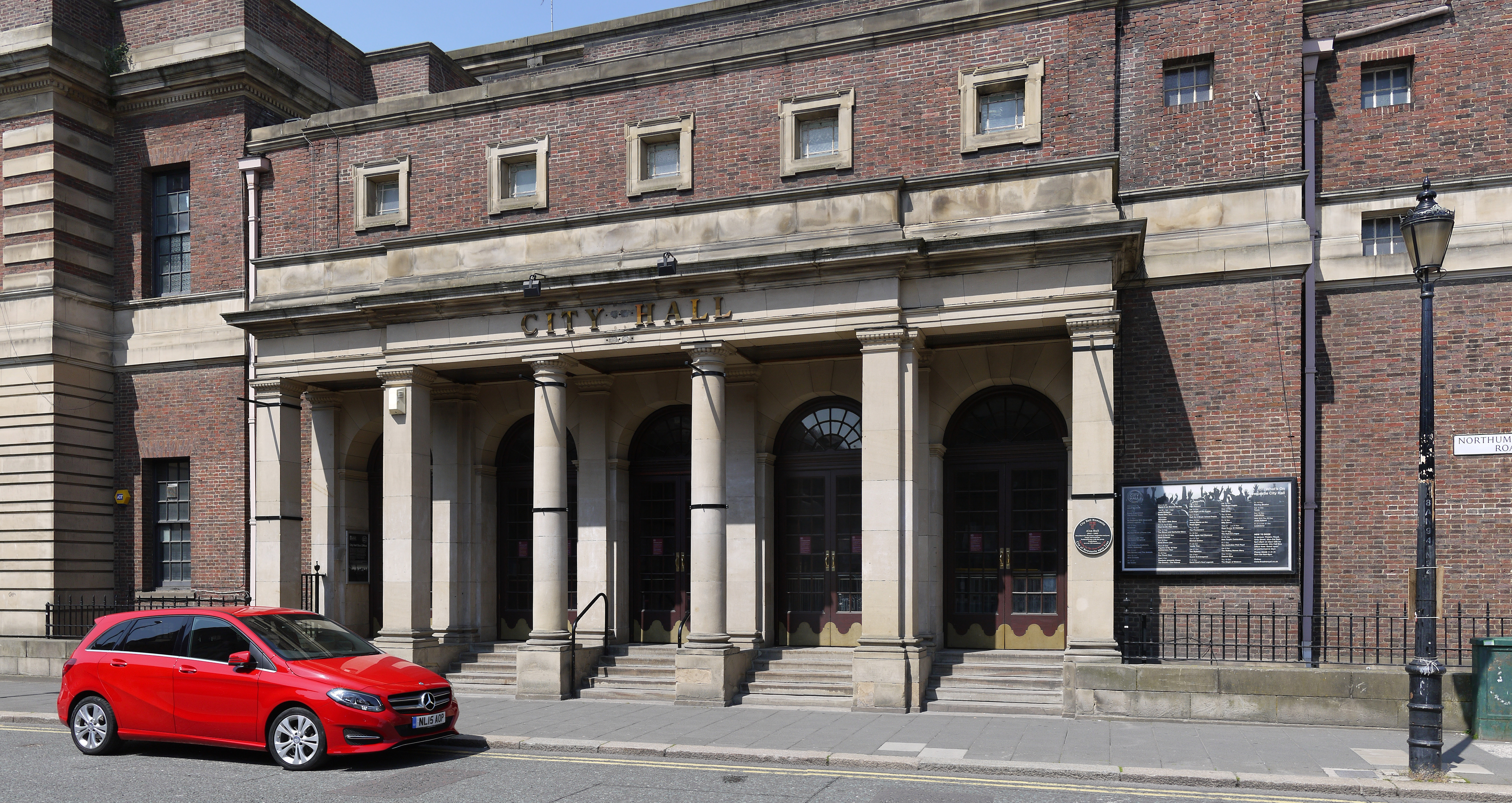
heritage
Newcastle upon Tyne
venue
Newcastle upon Tyne
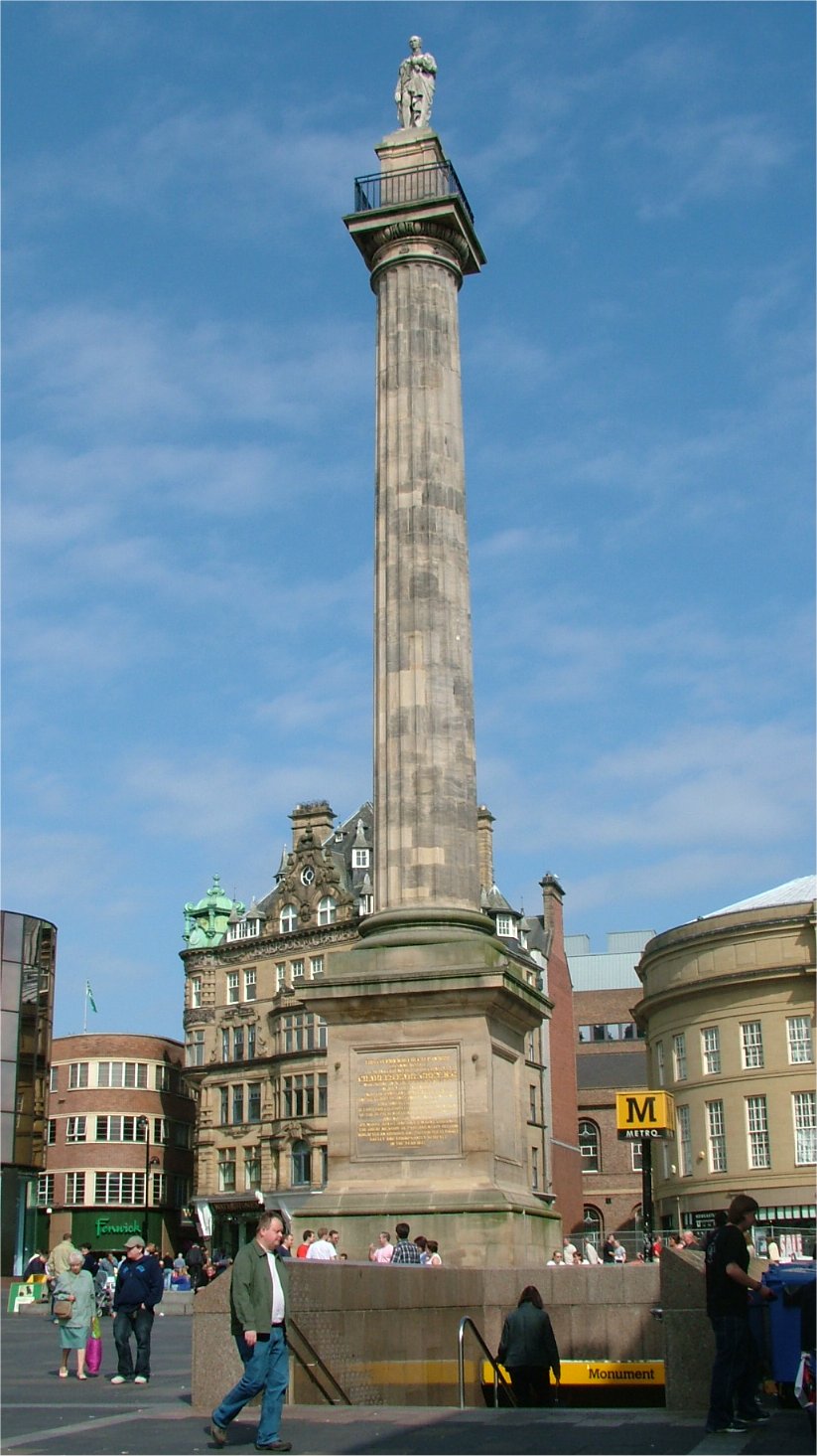
heritage
City Centre
venue
Newcastle
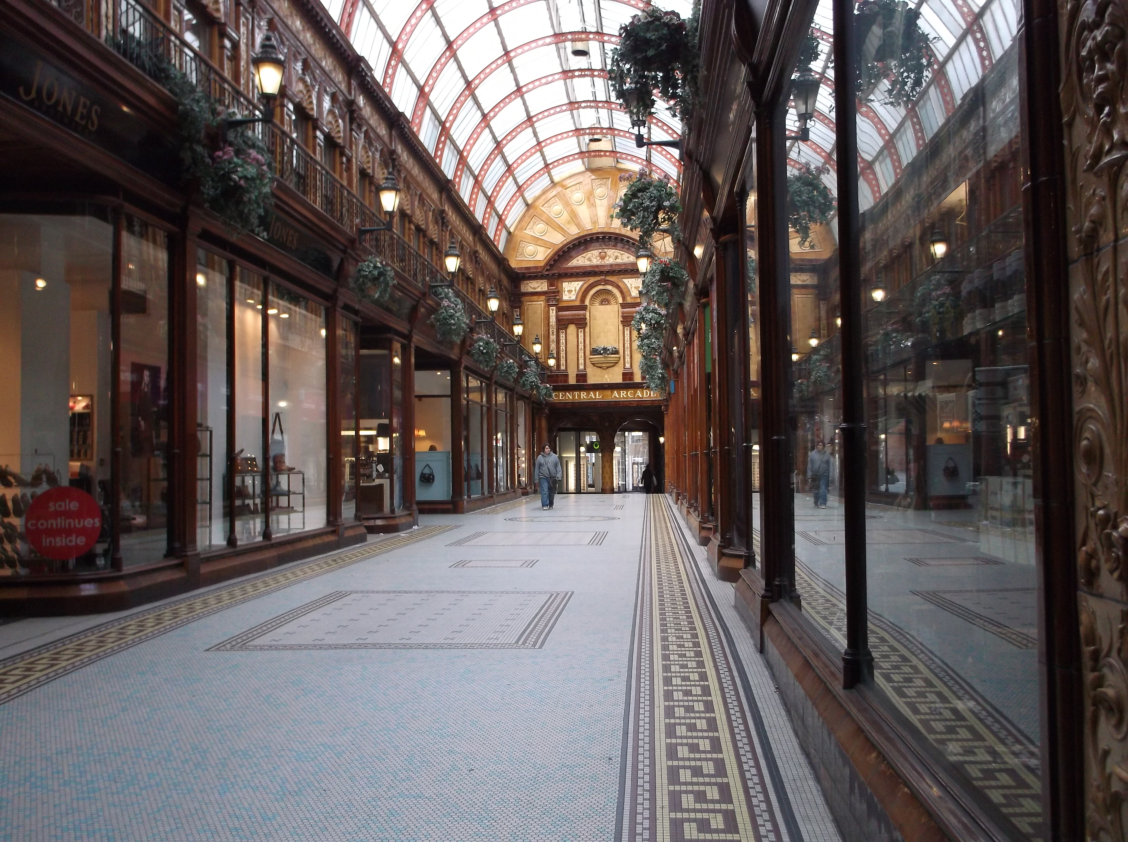
heritage
City Centre
venue
Newcastle upon Tyne
Walks nearby
Assigned walks plus nearby routes within a short drive.

moderate · 21.4km
Newcastle upon Tyne
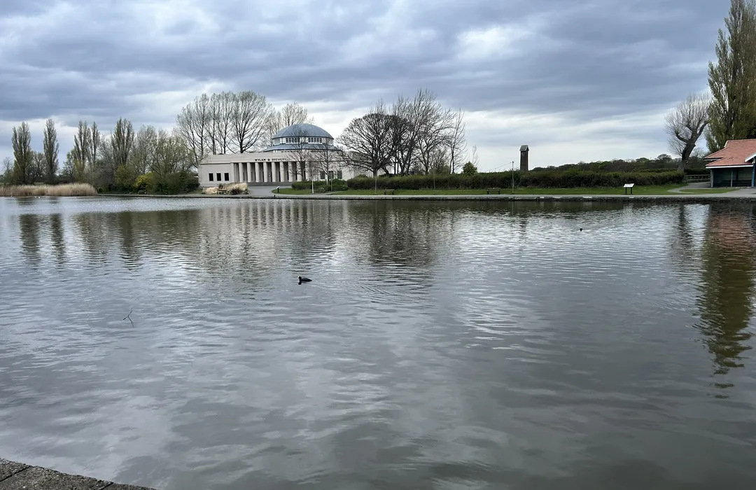
easy · 3.5km
Newcastle upon Tyne
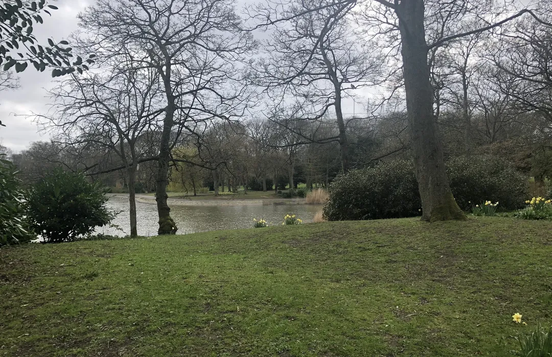
easy · 2.4km
Newcastle upon Tyne
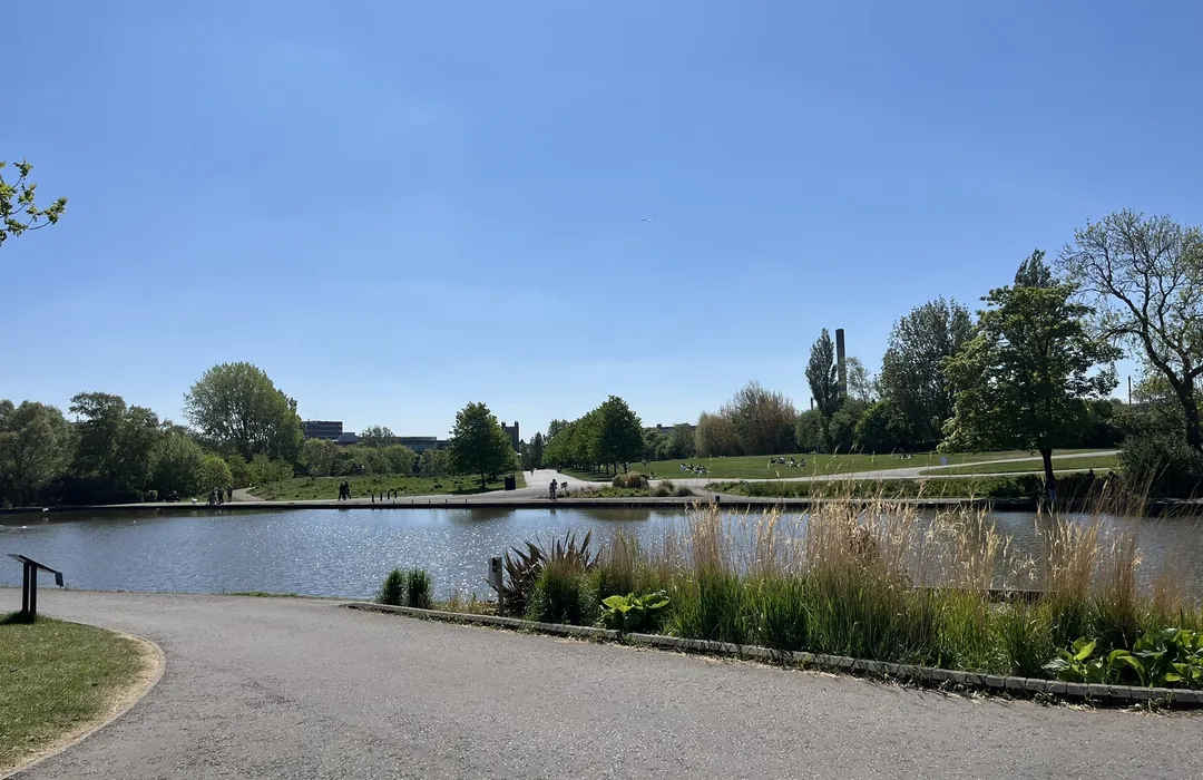
easy · 5.5km
Newcastle upon Tyne
easy · 3.7km
Newcastle upon Tyne
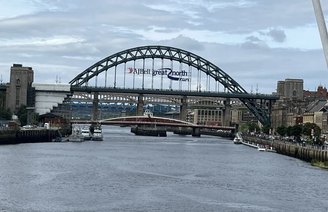
easy · 4.7km
Newcastle upon Tyne
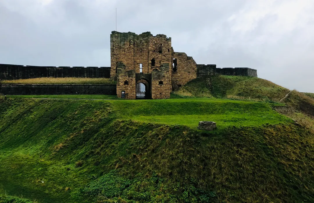
moderate · 37km
Newcastle upon Tyne
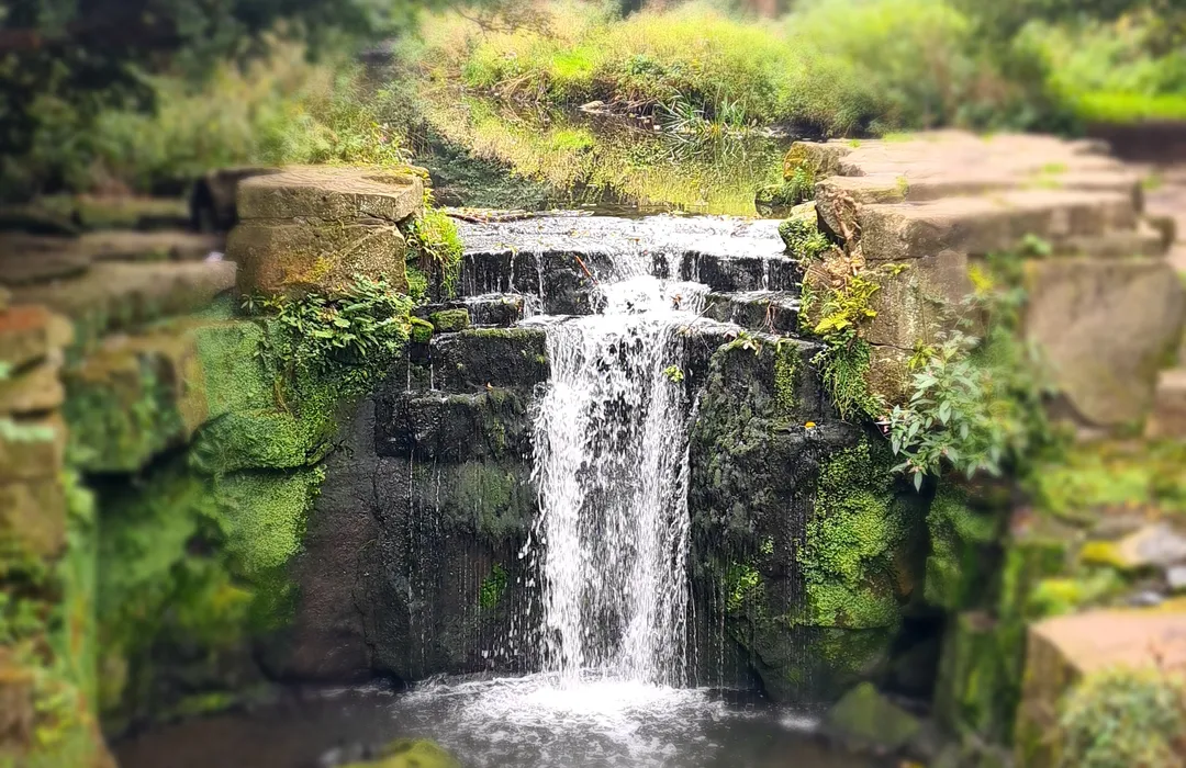
moderate · 7.9km
Newcastle upon Tyne
MyTyne directory
Places near Spital Tongues from the MyTyne directory.
Vets
Fenham
Vets
Tynemouth

Accountants
Heaton
Insight accountancy guarantee your business stays protected and prospers. Our Chartered…
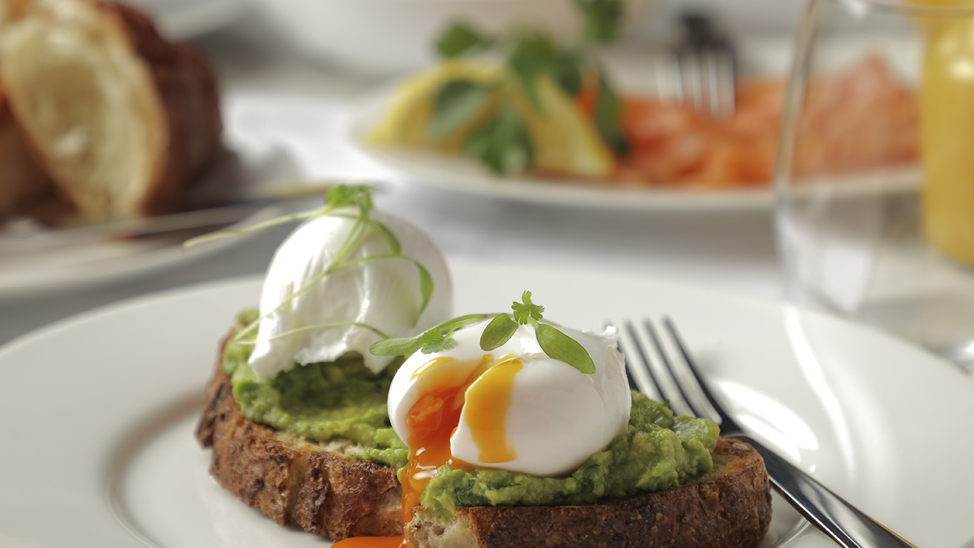
Restaurants
City Centre
A home from home where hospitality comes first. Café 21 is a sociable and effortlessly…
Vets
Sunderland
PDSA is the vet charity for pets in need, working to keep people and pets together. Find…
Cafés
City Centre
Discover authentic Scandinavian baked goods and a cozy fika experience at Midsommar…
Vets
Felling
Vets
Low Fell
Find local vet care in Tyne & Wear. Sheriffs Highway Vets offers pet care for dogs, cats,…
What's on

Mon 13 Jul · Standard
Leazes Park · Newcastle
Mon 13 Jul
Leazes Park · Newcastle
Mon 13 Jul · Standard
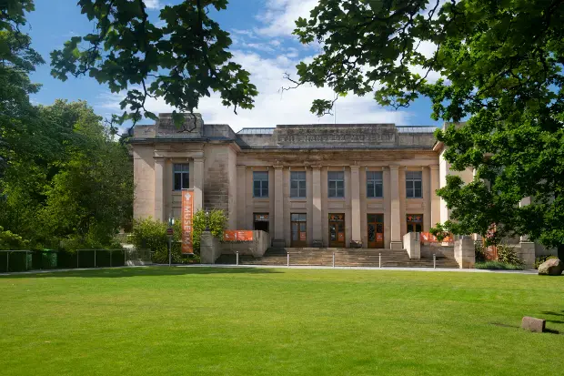
Great North Museum: Hancock · Newcastle

Mon 13 Jul · Standard
Great North Museum: Hancock · Newcastle
Tue 21 Jul · Standard
Great North Museum: Hancock · Newcastle
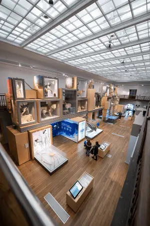
Wed 22 Jul · Standard
Great North Museum: Hancock · Newcastle
Spital Tongues · 54.9850, -1.6294
Map data © OpenStreetMap contributors.
Explore the map, browse nearby guides, and find what's on across Tyne & Wear.