
I
History
Though some claim the area's name comes from the Old English for "New Fort or Castle" (burh or burg being the Old English for fort or castle), the name is more commonly thought to have come from the Dewley or New Burn,…

Newburn, also known as Newburn-upon-Tyne is a village and district of Newcastle upon Tyne, in Tyne and Wear, England. Situated on the North bank of the River Tyne, it is built rising up the valley from the river. It is situated approximately 5 miles (8 km) from the city centre, 14 miles (23 km) east of Hexham and 13 miles (21 km) south south west of Morpeth. In the 2001 census, the population was given as 9,301, increasing to 9,536 at the 2011 Census. Newburn is in the Newcastle upon Tyne district of Tyne and Wear and is part of the parliamentary constituency of Newcastle upon Tyne North.
County
Tyne and Wear
Known for
Human settlement in England
The story of Newburn — from the archive to today.
Though some claim the area's name comes from the Old English for "New Fort or Castle" (burh or burg being the Old English for fort or castle), the name is more commonly thought to have come from the Dewley or New Burn,…
In 1894, Newburn Urban District Council was formed. This governed Newburn, along with other suburbs to the west of Newcastle. In 1911, the district council offices were officially opened. On 1 April 1974, following the…
According to the United Kingdom Census 2001, the population of the Newburn ward was 9,301, making up 3.6% of the population of the Newcastle upon Tyne area.
Prior to its closure, Spencer's Steel Works was a major local employer. Newburn Industrial Park, and the Newburn Riverside business park are now two of the key local employers.
In the late nineteenth century there was a funfair, known as Newburn Hoppings, set up near the area. This was similar to The Hoppings on Newcastle's Town Moor. There was a wooden picturedrome on…
In 1920, the area's war memorial was unveiled. The Battle of the Somme in 1916 accounts for many of the names on the statue's honour roll. The independent micro brewery The Big Lamp is attached to…
In 1748, the Wylam wagonway opened between Wylam and Lemington, passing through Newburn in doing so. This used horse-drawn carts to take coal from Wylam colliery to the staithes at Lemington. This…
Venues nearby
Museums, theatres and attractions — not business listings.
venue
Ryton
venue
Blaydon-on-tyne
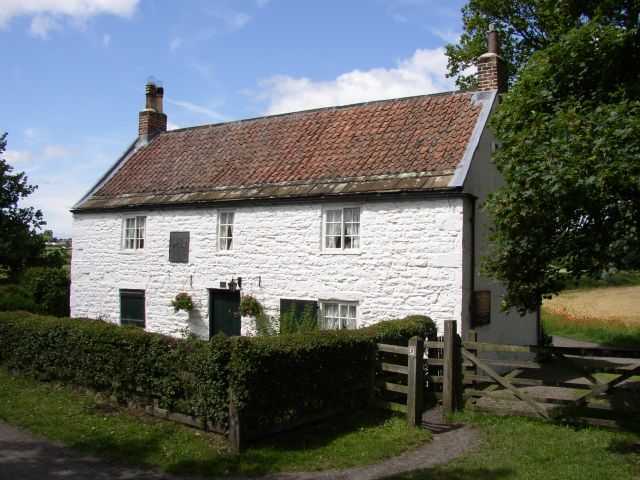
heritage
Ryton
venue
Winlaton Mill
club
Whickham
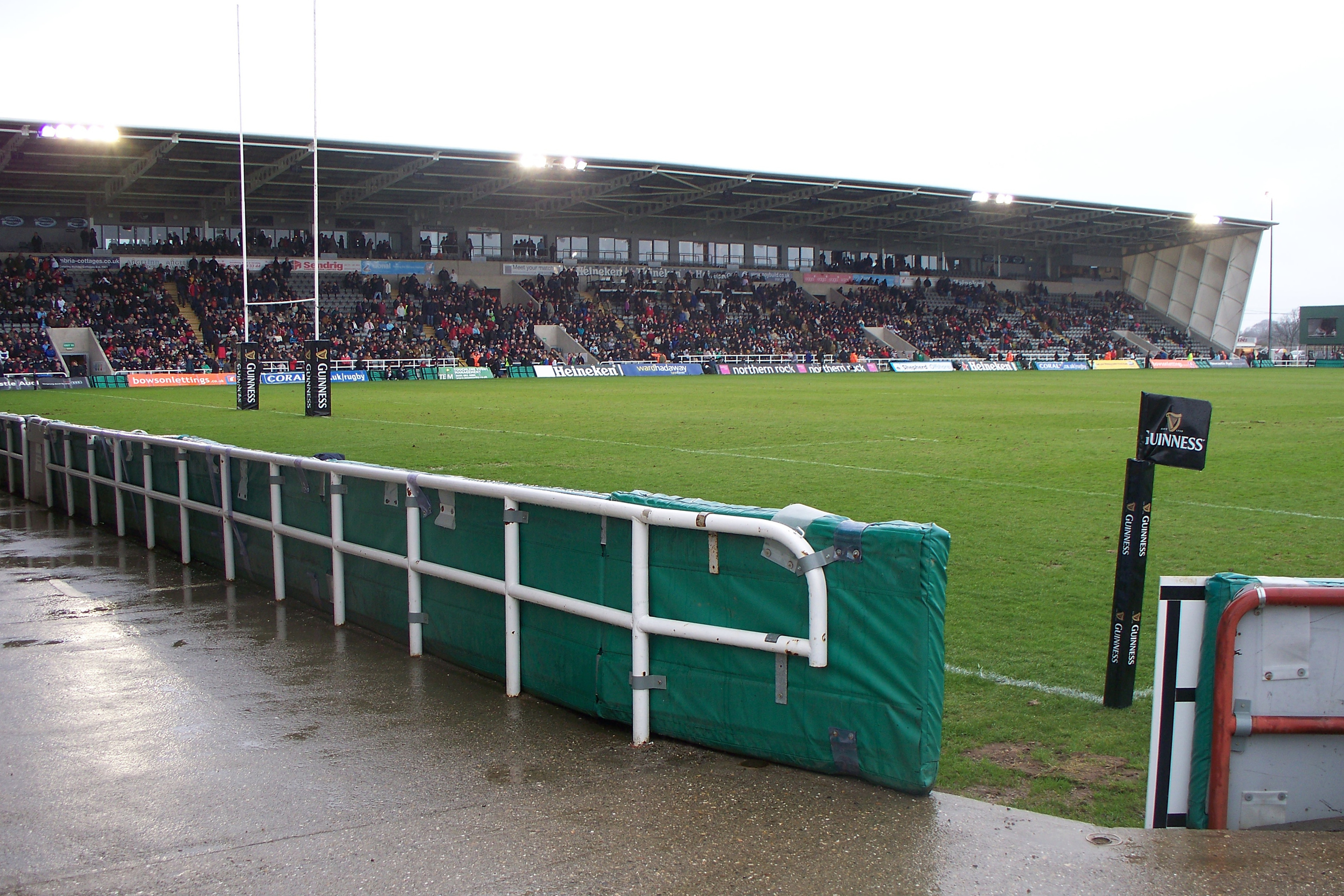
venue
Newcastle upon Tyne
venue
Newcastle Upon Tyne
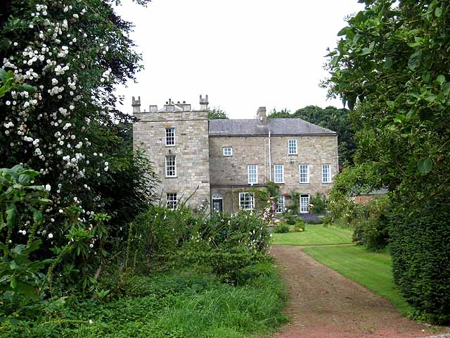
heritage
Ryton
Walks nearby
Assigned walks plus nearby routes within a short drive.
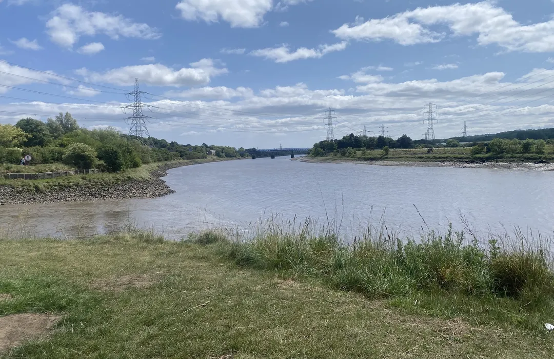
easy · 6.1km
Ryton
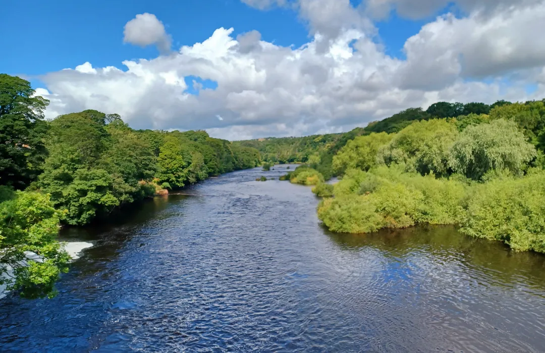
easy · 13.2km
Newcastle upon Tyne
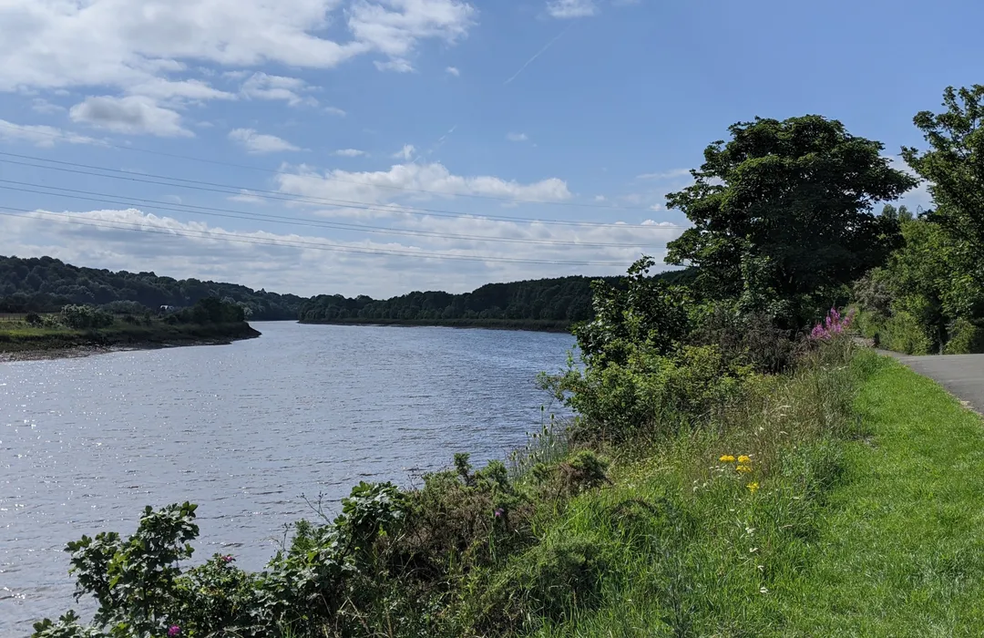
moderate · 11.3km
Newcastle upon Tyne
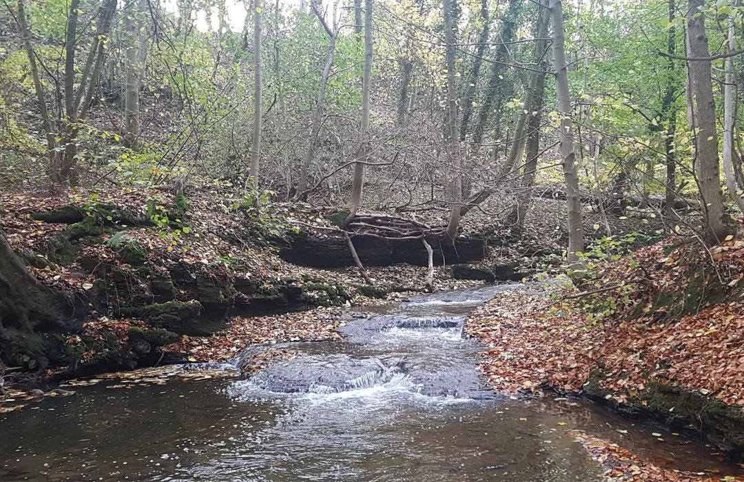
easy · 5.3km
Ryton
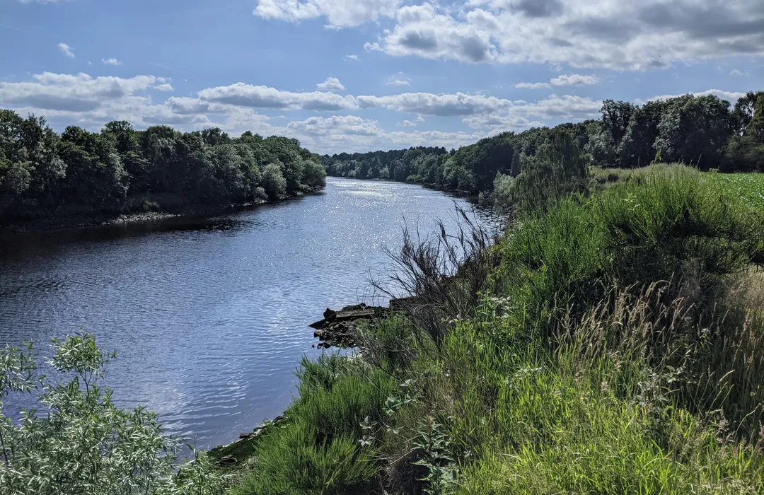
easy · 5.3km
Newcastle upon Tyne
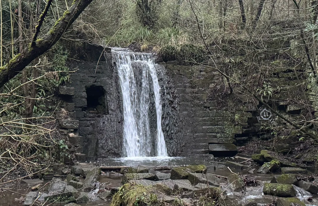
easy · 3.4km
Blaydon-on-Tyne
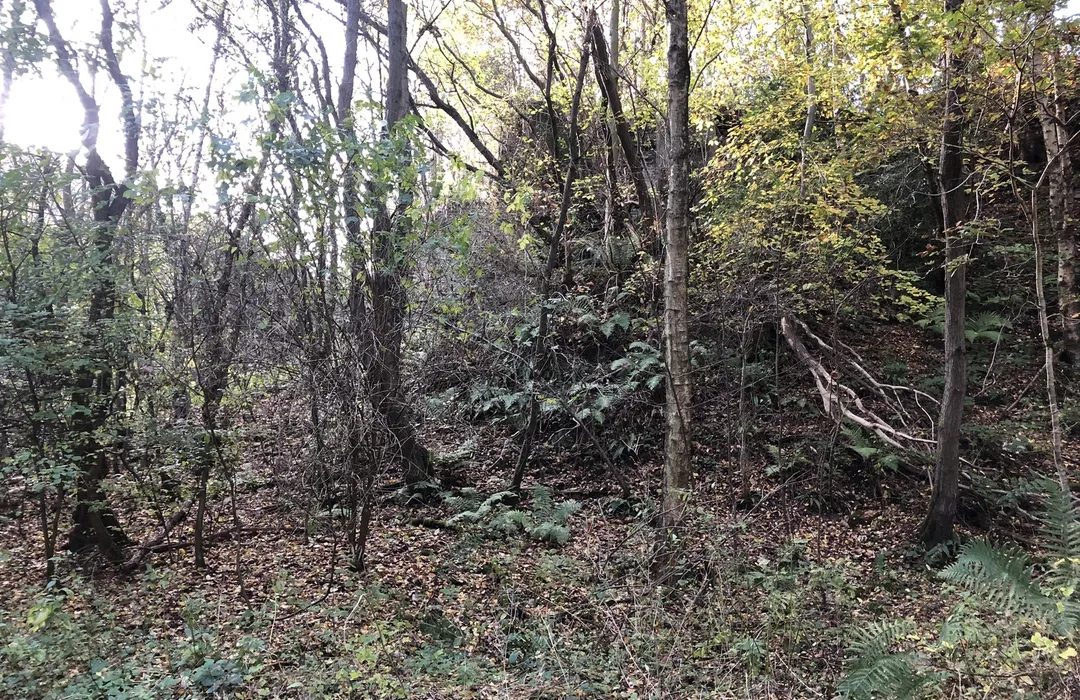
moderate · 6.1km
Ryton
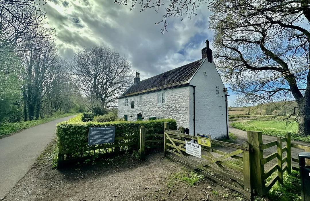
easy · 17.1km
Blaydon-on-Tyne
MyTyne directory
Places near Newburn from the MyTyne directory.
Clinics
Ryton

Dentists
Ryton
Nurseries & Childcare
Ryton
Sports Centres
Ryton
Electricians
Ryton
Electricians
Ryton
Electricians
Blaydon
Electricians
Ryton
What's on


Sun 12 Jul
Odeon Metrocentre · Gateshead

Thu 16 Jul
Odeon Metrocentre · Gateshead

Mon 13 Jul · Standard
Leazes Park · Newcastle
Mon 13 Jul
Leazes Park · Newcastle
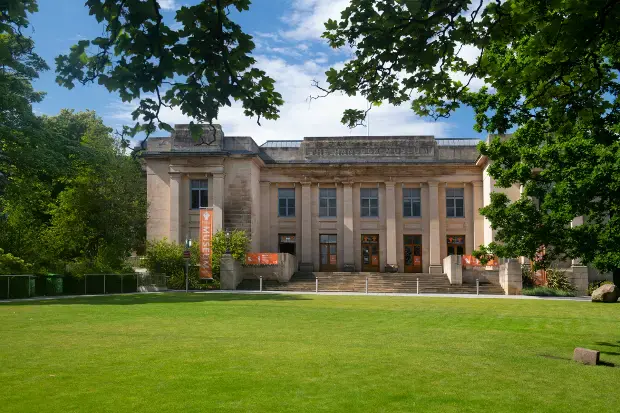
Mon 13 Jul · Standard
Great North Museum: Hancock · Newcastle

Mon 13 Jul · Standard
Great North Museum: Hancock · Newcastle
Newburn · 54.9830, -1.7430
Map data © OpenStreetMap contributors.
Explore the map, browse nearby guides, and find what's on across Tyne & Wear.