
I
Gateshead Fell
Prior to 1809, Low Fell was part of Gateshead Fell; itself a constituent part of the ancient County of Durham. Once described as a "windswept, barren and treacherous heath", it took its name from nearby Gateshead and…

Low Fell is a suburb of Gateshead situated in the Metropolitan Borough of Gateshead in Tyne and Wear, England. Built predominantly on sandstone, grindstone and clay, it is bordered by Sheriff Hill/Deckham to the east, Saltwell/Bensham to the west, Harlow Green to the south and Shipcote to the north. Low Fell is 3 miles south of Gateshead, 3 miles south of Newcastle upon Tyne and 12 miles north of Durham.
County
Tyne and Wear
Known for
Suburb of Gateshead, England
The story of Low Fell — from the archive to today.
Prior to 1809, Low Fell was part of Gateshead Fell; itself a constituent part of the ancient County of Durham. Once described as a "windswept, barren and treacherous heath", it took its name from nearby Gateshead and…
The Gateshead Inclosure Act 1809 separated Gateshead Fell into Wrekenton and Sheriff Hill (collectively High Fell) plus Low Fell. Commissioners were appointed to settle claims in land and to apportion Gateshead Fell…
Low Fell is a local council ward in the Metropolitan Borough of Gateshead. This ward is approximately 2 square kilometres (0.77 sq mi) in area and has a population of 8,643. The Low Fell ward is represented by three…
Low Fell, at a latitude of 54.93° N and a longitude of 1.60 ° W, lies on the eastern side of the Team Valley, some 2.5 miles (4.0 kilometres) south of the centre of Gateshead town centre on "one of…
According to the United Kingdom Census 2001, Low Fell has a population of 8,643. 51% of the population are female, slightly below the national average, whilst 49% are male. Only 1% of the population…
Prior to enclosure, Low Fell was predominantly inhabited by a small number of tinkers and hawkers but after enclosure the character of the suburb changed rapidly as people moved to be close to the…
Low Fell is home to numerous buildings listed by English Heritage. Underhill, at 99 Kells Lane, is a Grade II* listed building. It was the home of Sir Joseph Wilson Swan between 1869 and 1883 and was…
Venues nearby
Museums, theatres and attractions — not business listings.
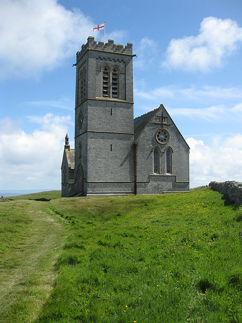
heritage
Low Fell
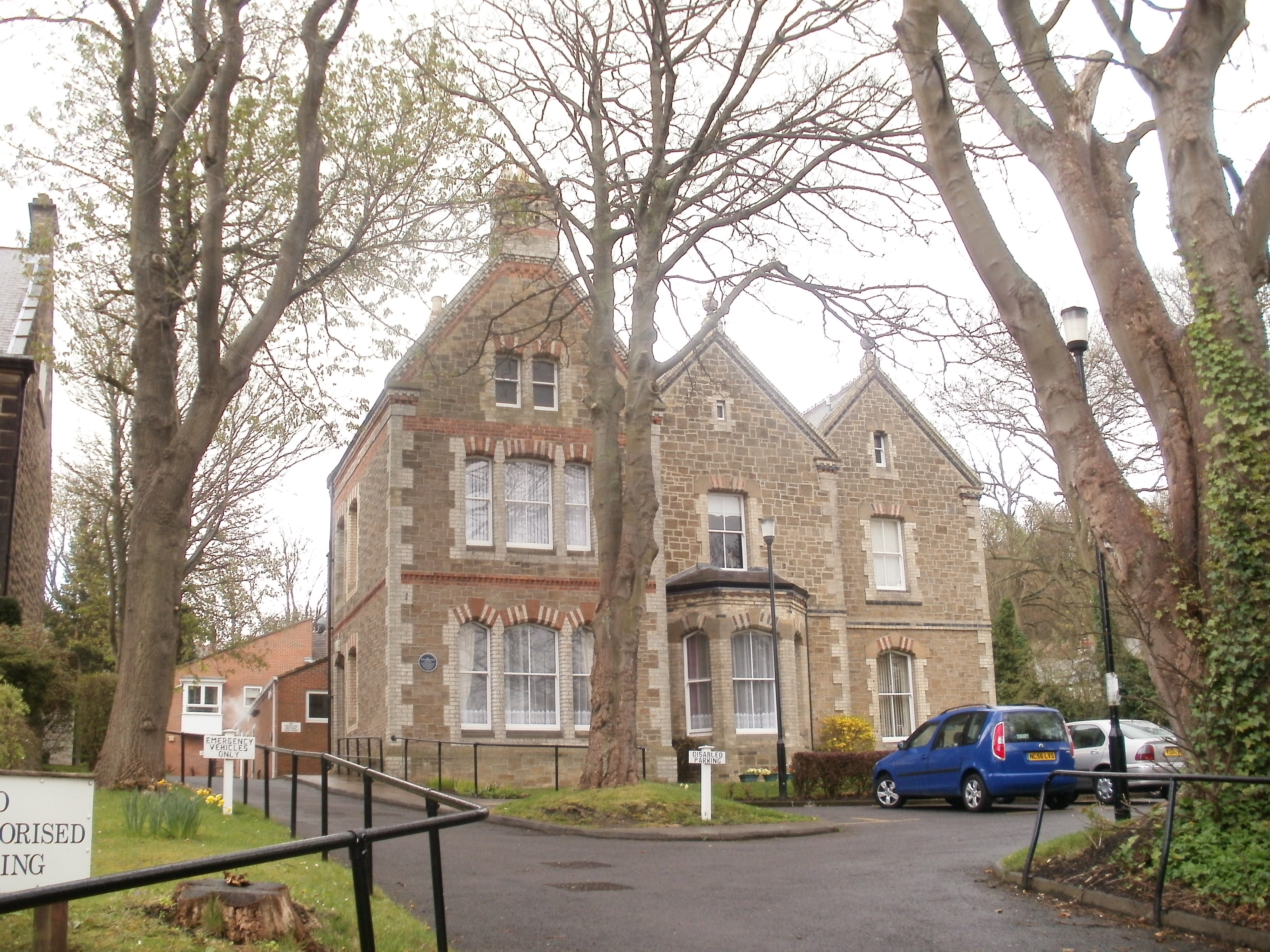
heritage
Low Fell
club
Gateshead
venue
Gateshead
venue
Gateshead
heritage
Felling
venue
Gateshead
heritage
Felling
Walks nearby
Assigned walks plus nearby routes within a short drive.
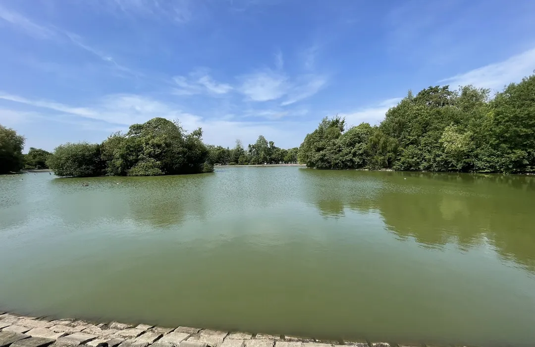
moderate · 2.4km
Gateshead
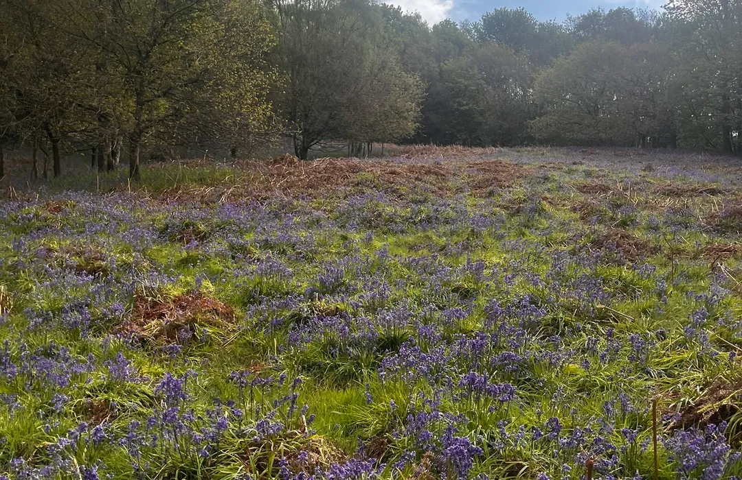
easy · 3.4km
Washington
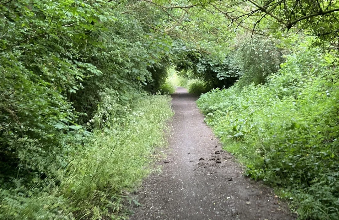
moderate · 8.5km
Gateshead
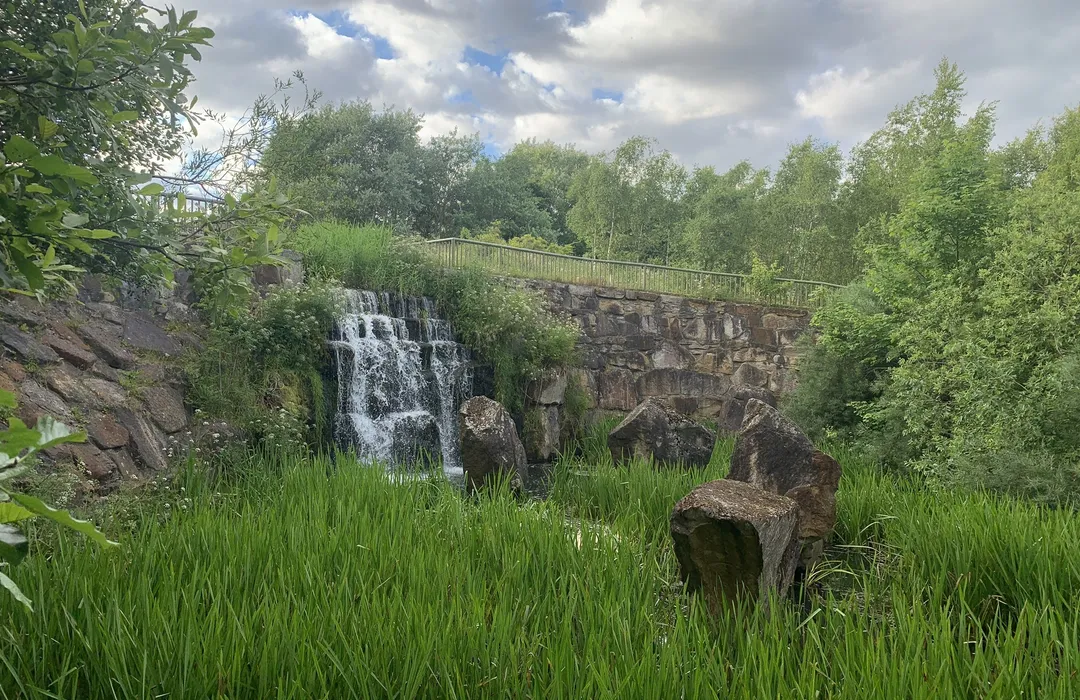
easy · 4.7km
Gateshead
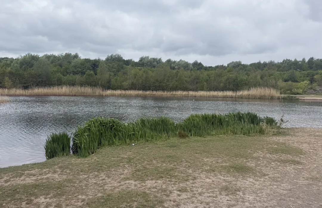
easy · 2.3km
Gateshead
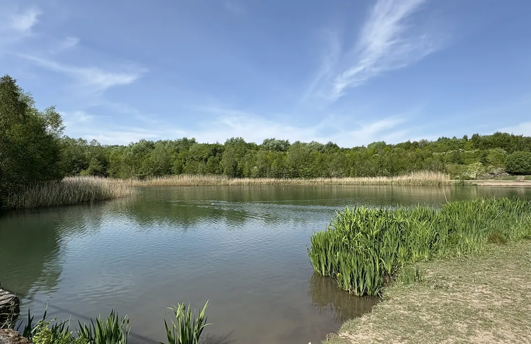
easy · 5.3km
Gateshead
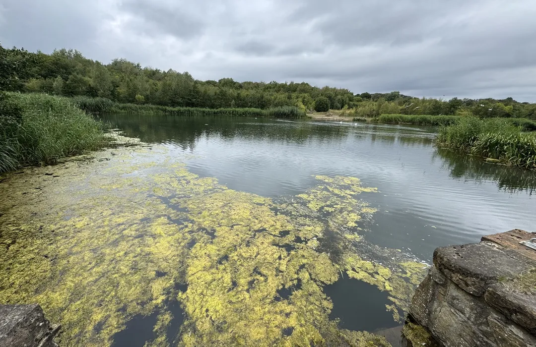
moderate · 13.8km
Gateshead
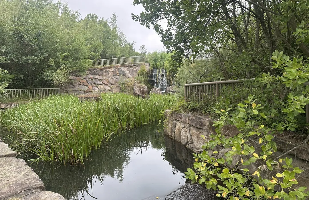
moderate · 9.2km
Gateshead
MyTyne directory
Places near Low Fell from the MyTyne directory.
Florists
Low Fell
Florists
Low Fell
Florists
Low Fell
Florists
Low Fell
Florists
Low Fell
Florists
Low Fell
Florists
Low Fell
Florists
Low Fell
What's on

Tue 21 Jul · Standard
Low Fell Library · Gateshead

Fri 24 Jul · Standard
Little Theatre · Gateshead

Sat 25 Jul · Standard
Little Theatre · Gateshead
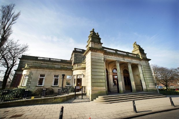
Tue 21 Jul · Standard
Shipley Art Gallery · Gateshead
Thu 23 Jul · Standard
Shipley Art Gallery · Gateshead

Fri 24 Jul
Vue Gateshead · Gateshead
Low Fell · 54.9300, -1.6000
Map data © OpenStreetMap contributors.
Explore the map, browse nearby guides, and find what's on across Tyne & Wear.