Lobley Hill
Lobley Hill communityRegional Spotlight

Discover Lobley Hill

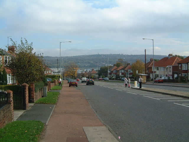
Lobley Hill is located in the west of the old County Borough of Gateshead within the Metropolitan Borough of Gateshead in Tyne and Wear, North East England having been previously part of the parish of Whickham.

County

Tyne and Wear

Known for

Suburb of Gateshead, Tyne and Wear, England

A Journey Through Time

The story of Lobley Hill — from the archive to today.

I

Development of the community

The current Lobley Hill is defined by its boundaries as it has grown to fill the hillside while development along its eastern edge has encroached significantly since the first of the present housing was built in 1930s.…


II

Education

The first primary school for Lobley Hill was a section of the Gun Site installation behind the west end of Oakfield Road at its highest point of the hill. The second was subsequently built on Rothbury Gardens and opened…

III

Churches

There are two churches in Lobley Hill. All Saints’ Church is Anglican, the older of the two. The Immaculate Heart Of Mary Church is a Roman Catholic church. There used to be a Methodist chapel on Beechwood Gdns but this…

Local flavour

Emmanuel House

On a street in Lobley Hill lies the Hospice Emmanuel House, fronted by long-time devout Catholic, Christine Deponio. The hospice itself is operated within her house, along with Husband Raymond, and…

Recreation and local events

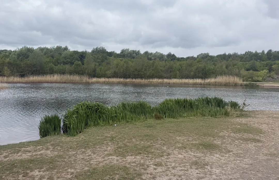
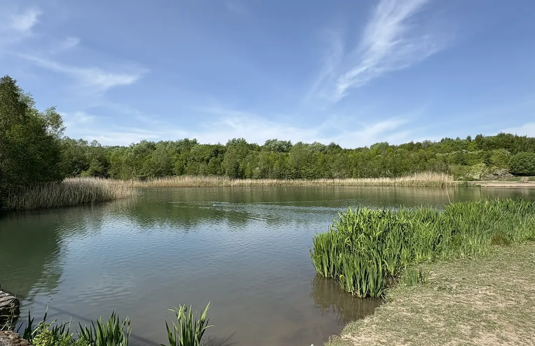
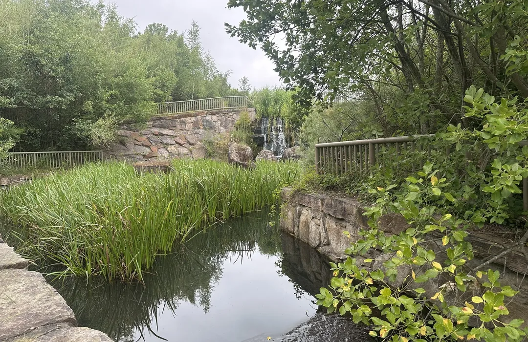
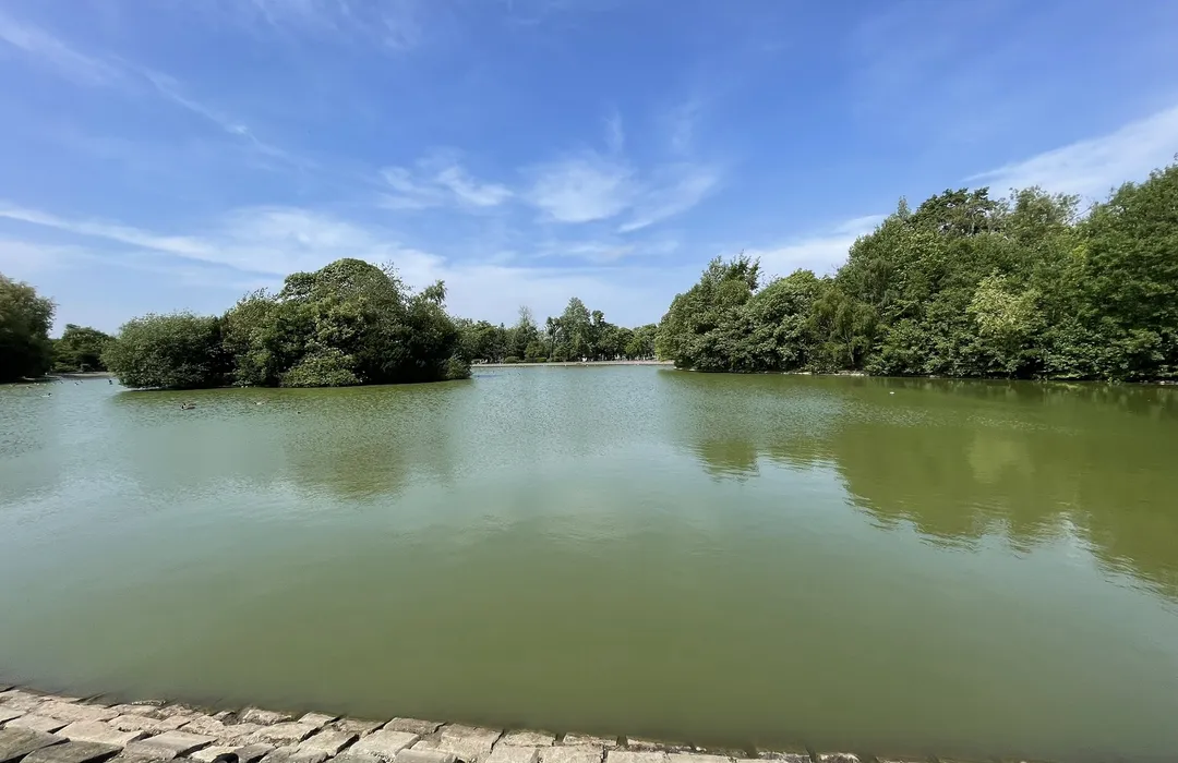
It has a recently constructed park, called Watergate Forest Park, built on reclaimed land on the site of the former Watergate Colliery which may have been among some of the first places where…

Famous residents

Gateshead footballer, coach and manager Tom Callender Liberty X band member, Michelle Heaton, attended Emmanuel College. Footballer and football manager Ian Branfoot was a pupil at the Primary…

History

Lobley Hill has been shown on maps over a period of time. The Ordnance Survey taken in 1857 for the map published in 1862 shows Lobley Hill marked at a junction just to the east of the signal box on…

Explore the map

Lobley Hill · 54.9396, -1.6375

Open in Google Maps

Map data © OpenStreetMap contributors.

Plan your visit to Lobley Hill

Explore the map, browse nearby guides, and find what's on across Tyne & Wear.