
I
Facilities and amenities
The estate is home to Kenton Bar Primary School. There is also a small shopping centre which over the years has included an off licence, news agent, general store, hairdresser's salon and fish-and-chip shop. In previous…

Kenton Bar is a housing estate, that is part of Kenton Ward in Newcastle upon Tyne, England. It is situated immediately west of North Kenton and to the north of Cragston Park and Cowgate.
County
Tyne and Wear
Known for
Human settlement in England
The story of Kenton Bar — from the archive to today.
The estate is home to Kenton Bar Primary School. There is also a small shopping centre which over the years has included an off licence, news agent, general store, hairdresser's salon and fish-and-chip shop. In previous…
The estate was constructed between 1966 and 1968. It had one famous landmark called the Kenton Bar Pyramid or, less formally, the "Pyrry", which was located in the estate's shopping centre at Mallowburn Crescent. The…
Kenton Bar Estate has 18 street names in total, as follows: Hazeldene Avenue; Fawlee Green; Ryal Walk; Apperley Avenue; Beal Green; Byrness Close; Mallowburn Crescent; Studdon Walk; Hartburn Walk; Reestones Place;…
RAF Blakelaw - its operations room was at Kenton Bar
Newcastle council 1966 design Kenton Ward information
Kenton Bar Primary School Archived 15 October 2010 at the Wayback Machine https://kentonbar.blogspot.com/ - A blog containing many recollections of life on the Kenton Bar Estate.
Venues nearby
Museums, theatres and attractions — not business listings.
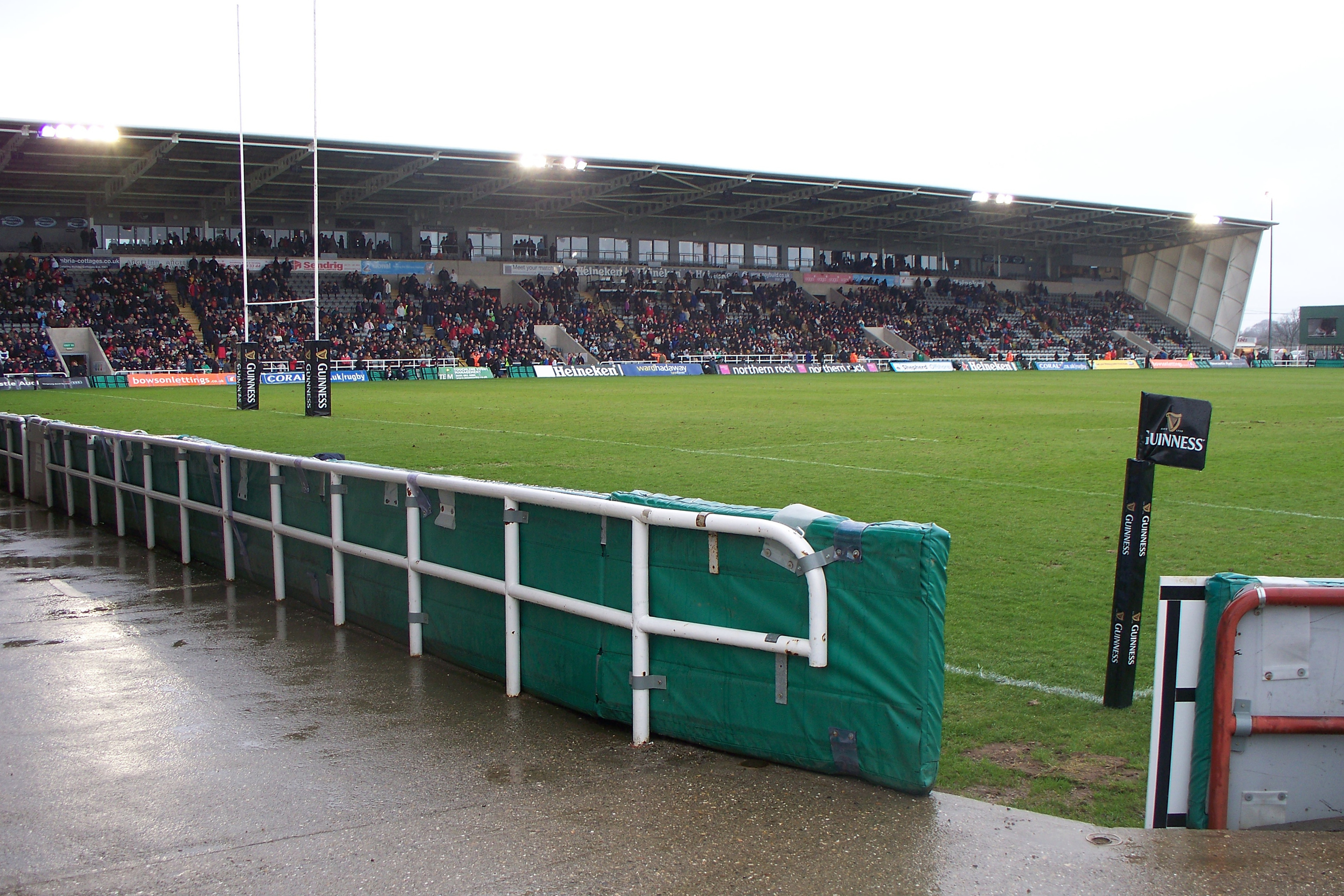
venue
Newcastle upon Tyne
venue
Newcastle
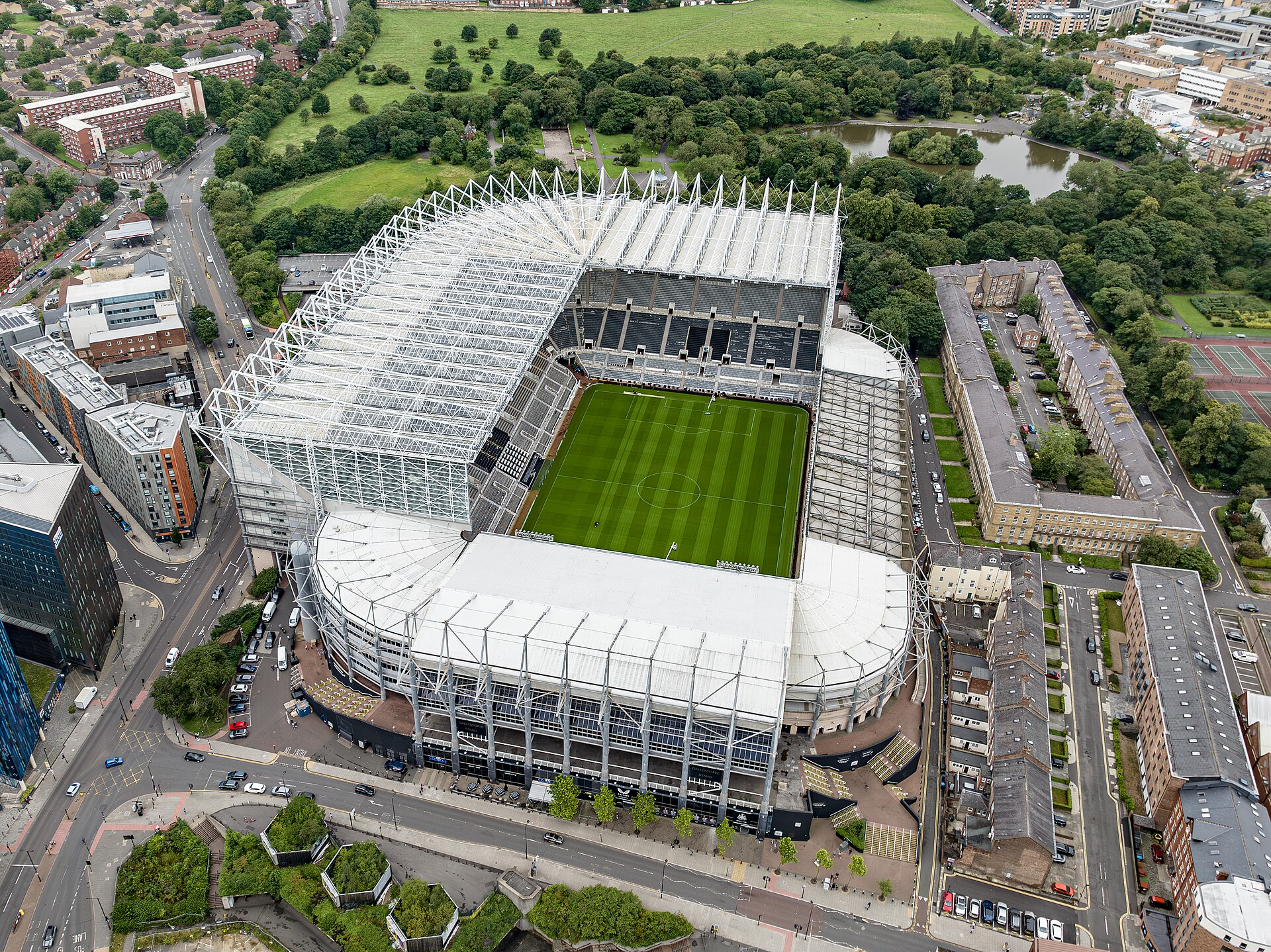
venue
Newcastle upon Tyne

venue
Newcastle
heritage
Newcastle upon Tyne
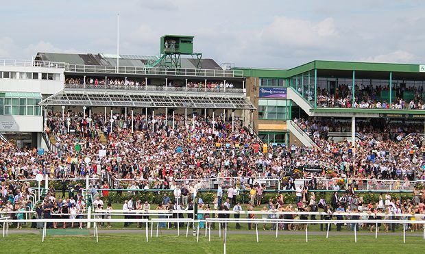
venue
Newcastle upon Tyne
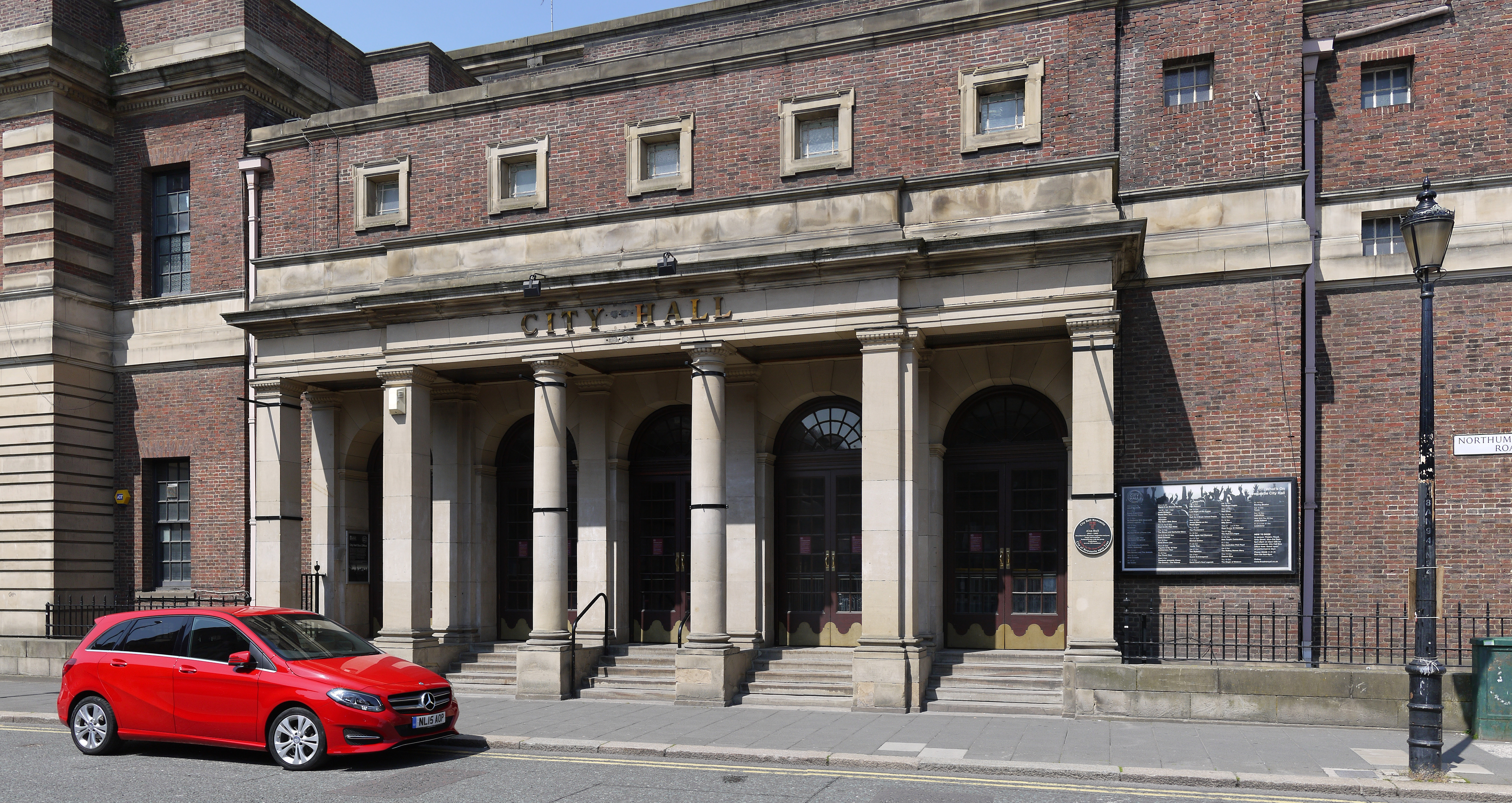
venue
Newcastle upon Tyne
venue
Newcastle
Walks nearby
Assigned walks plus nearby routes within a short drive.
easy · 3.7km
Newcastle upon Tyne
hard · 104.1km
Newcastle upon Tyne
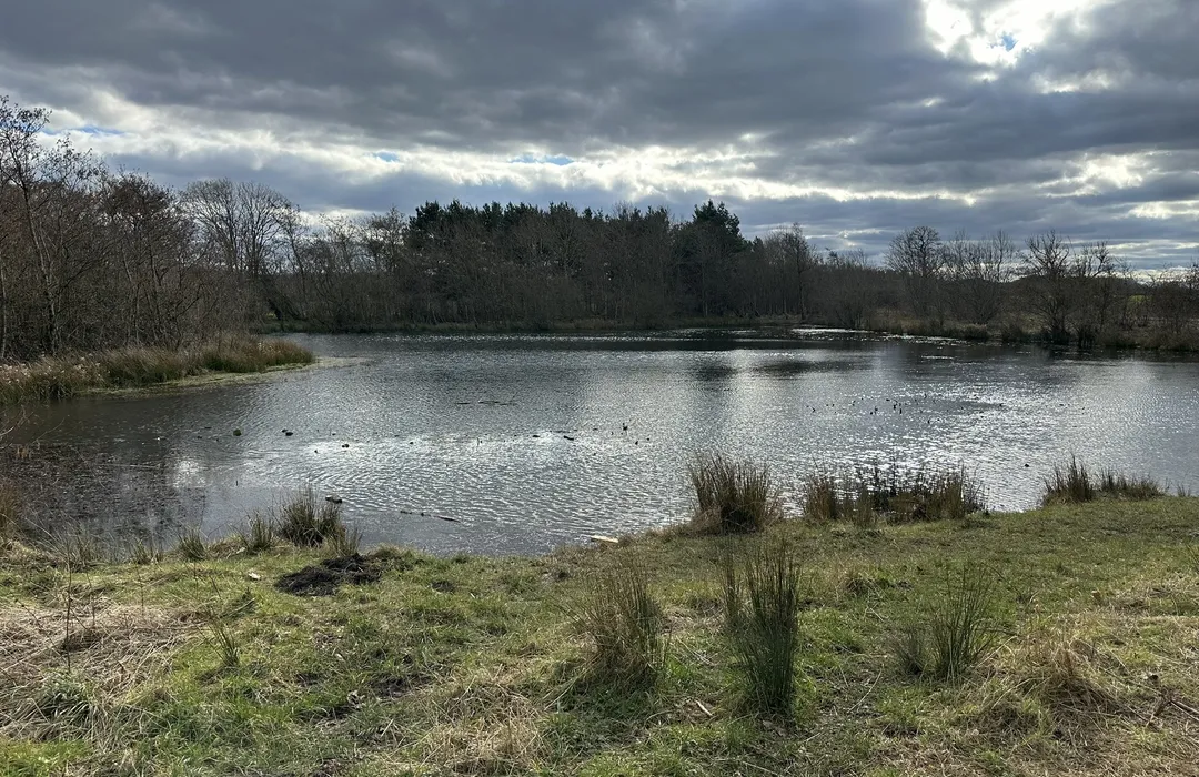
easy · 3.4km
Newcastle upon Tyne
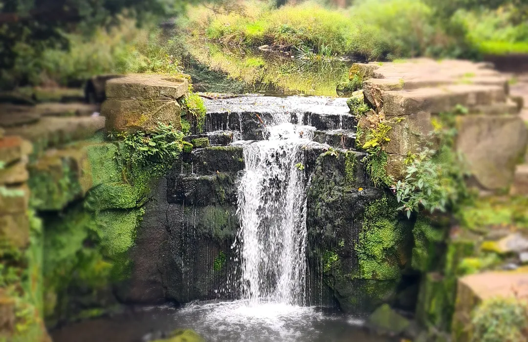
moderate · 7.9km
Newcastle upon Tyne
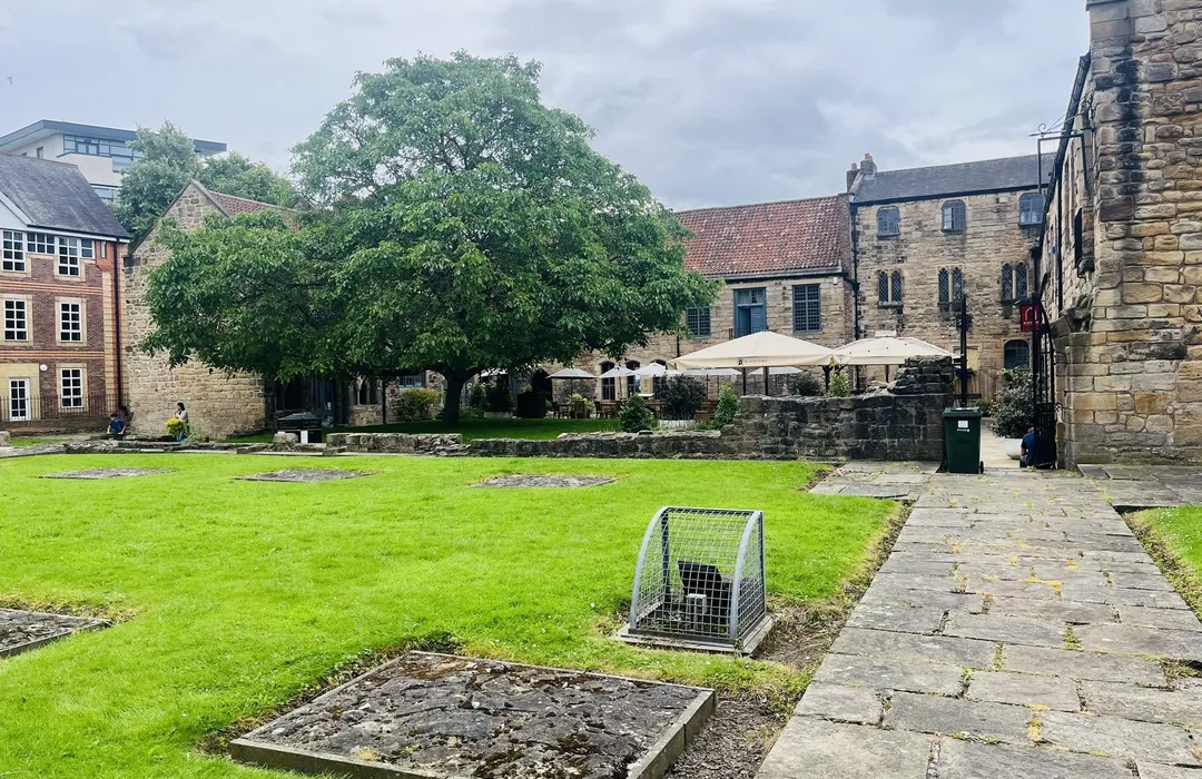
easy · 6.9km
Newcastle upon Tyne
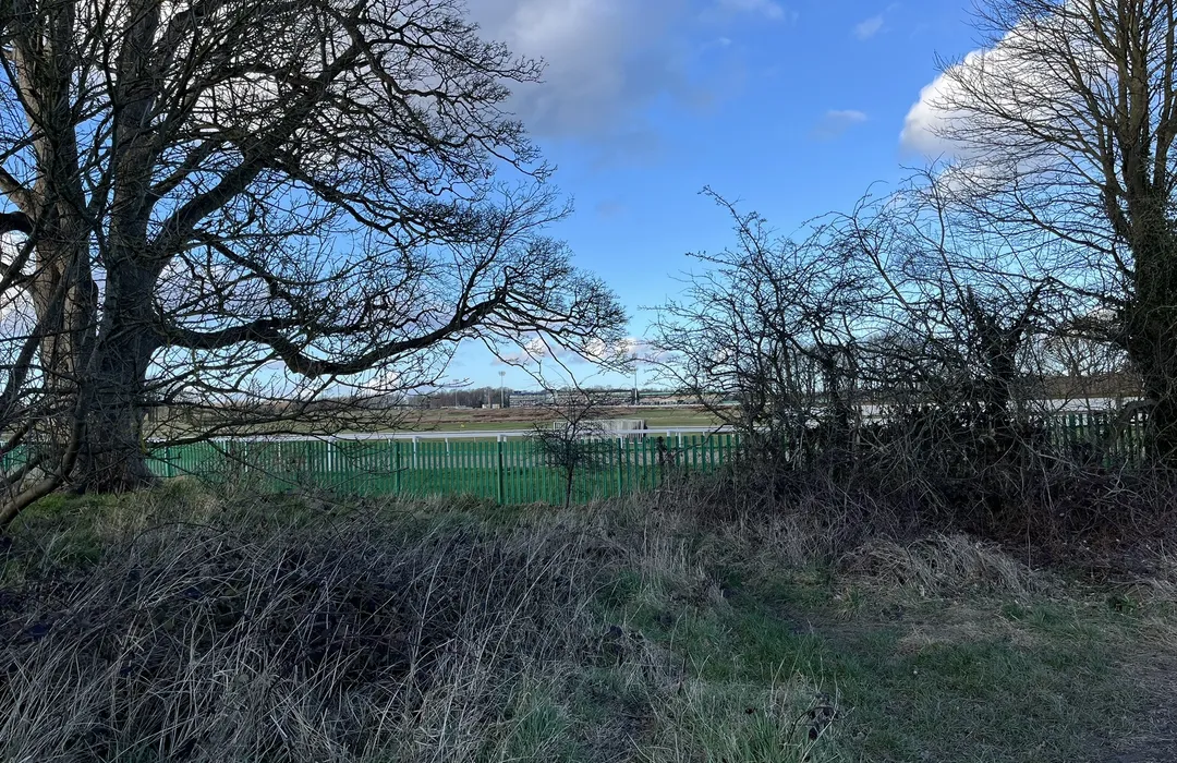
easy · 3.5km
Newcastle upon Tyne
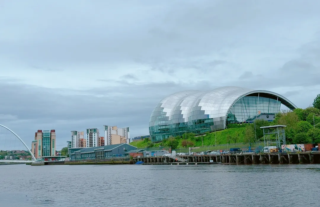
moderate · 21.4km
Newcastle upon Tyne
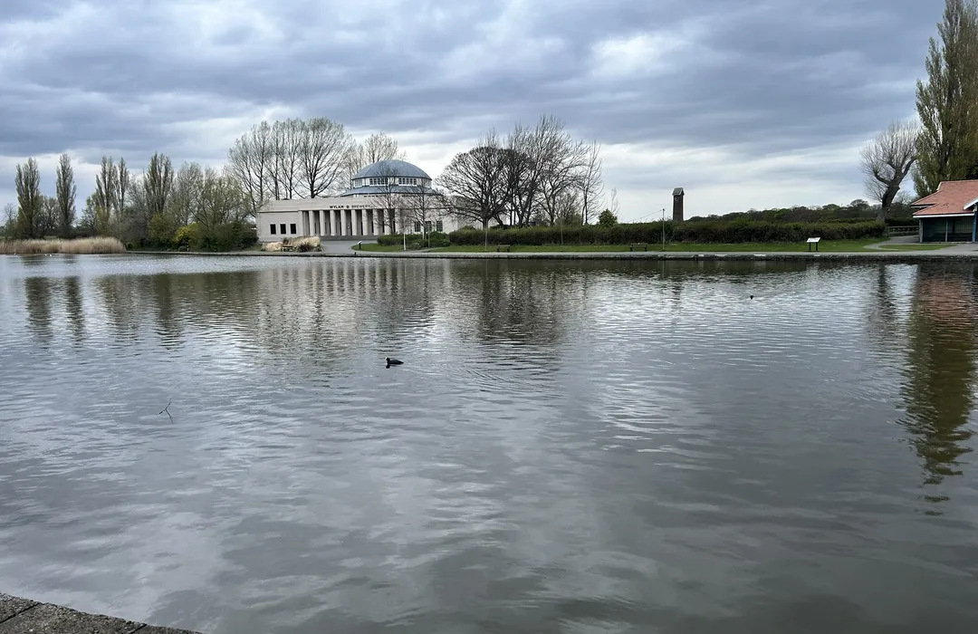
easy · 3.5km
Newcastle upon Tyne
MyTyne directory
Places near Kenton Bar from the MyTyne directory.
Takeaways
Low Fell
Beauty Salons
Low Fell
Takeaways
Low Fell
Nurseries & Childcare
Kenton

Pharmacies
Low Fell
Branch Locator Family-run Local Pharmacies in the North East Pharmacies in Ashington…
Plumbers
Gosforth
Aubrey Cornfoot Ltd, based in South Gosforth, covers all areas in Newcastle including…

Takeaways
Kenton
Visit your local Subway at 161B, Kenton Retail, Kirkwood Drive in Newcastle upon Tyne, EN…

Clinics
Low Fell
What's on

Mon 13 Jul · Standard
Leazes Park · Newcastle
Mon 13 Jul
Leazes Park · Newcastle
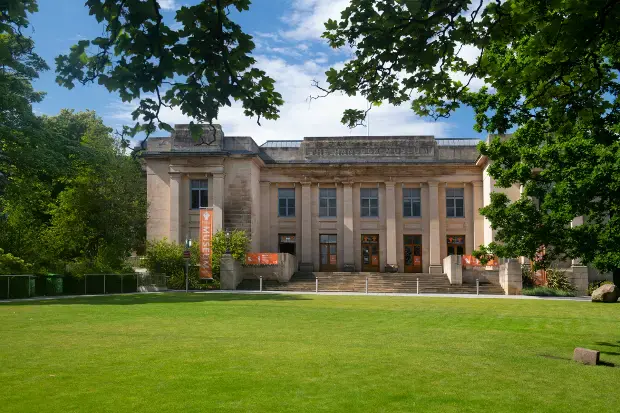
Mon 13 Jul · Standard
Great North Museum: Hancock · Newcastle

Mon 13 Jul · Standard
Great North Museum: Hancock · Newcastle
Tue 21 Jul · Standard
Great North Museum: Hancock · Newcastle
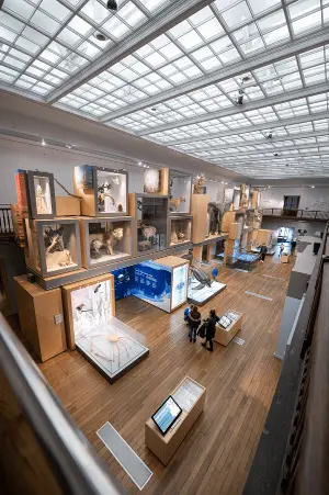
Wed 22 Jul · Standard
Great North Museum: Hancock · Newcastle
Kenton Bar · 55.0063, -1.6648
Map data © OpenStreetMap contributors.
Explore the map, browse nearby guides, and find what's on across Tyne & Wear.