
I
History
Fenham was part of the manor of Elswick in the Barony of Bolam until the lands were passed into the ownership of the Knights Templar in 1185. Following the suppression of the Templars in 1307 the manor of Fenham was…

Fenham is an area of the west-end of Newcastle upon Tyne, in the county of Tyne and Wear, England. It lies to the west of the city centre, and is bounded on the north and east by a large area of open land known as the Town Moor. To the south lies Benwell, West Denton lies to the west, Blakelaw and Cowgate to the north, and Arthur's Hill and Spital Tongues to the east. Until 1974 it was in Northumberland.
County
Tyne and Wear
Known for
Human settlement in England
The story of Fenham — from the archive to today.
Fenham was part of the manor of Elswick in the Barony of Bolam until the lands were passed into the ownership of the Knights Templar in 1185. Following the suppression of the Templars in 1307 the manor of Fenham was…
Fenham Hall has its origins in the 14th century. Surrendered by the Hospitallers to the Crown at the Reformation, it was granted initially to the Riddell family before being acquired (along with much of the surrounding…
In 1905 Fenham Hall was purchased by the Society of the Sacred Heart to house a secondary school and a Teacher Training College: St Mary's. The hall itself accommodated the convent and dormitories; further buildings…
Fenham Barracks was built in 1804-06 by James Johnson and John Saunders (architects at the Barrack Department of the War Office) on an 11-acre portion of the Town Moor leased from the Newcastle…
In 1895 Benwell and Fenham Urban District was created; in 1904 the area was incorporated into Newcastle upon Tyne. Fenham did not become a residential area until the 20th century. Housing was built…
Fenham possesses a public library on Fenham Hall Drive. It is a Grade II listed building. In December 2018 a drug and alcohol rehabilitation centre was opened in the library building. This has faced…
Today Fenham is best known in the local area for its large Asian community, with many of the businesses in the area being Asian-owned and including many specialty stores such as a halal butchers and…
Venues nearby
Museums, theatres and attractions — not business listings.
heritage
Fenham
heritage
Fenham
heritage
Fenham
heritage
Fenham
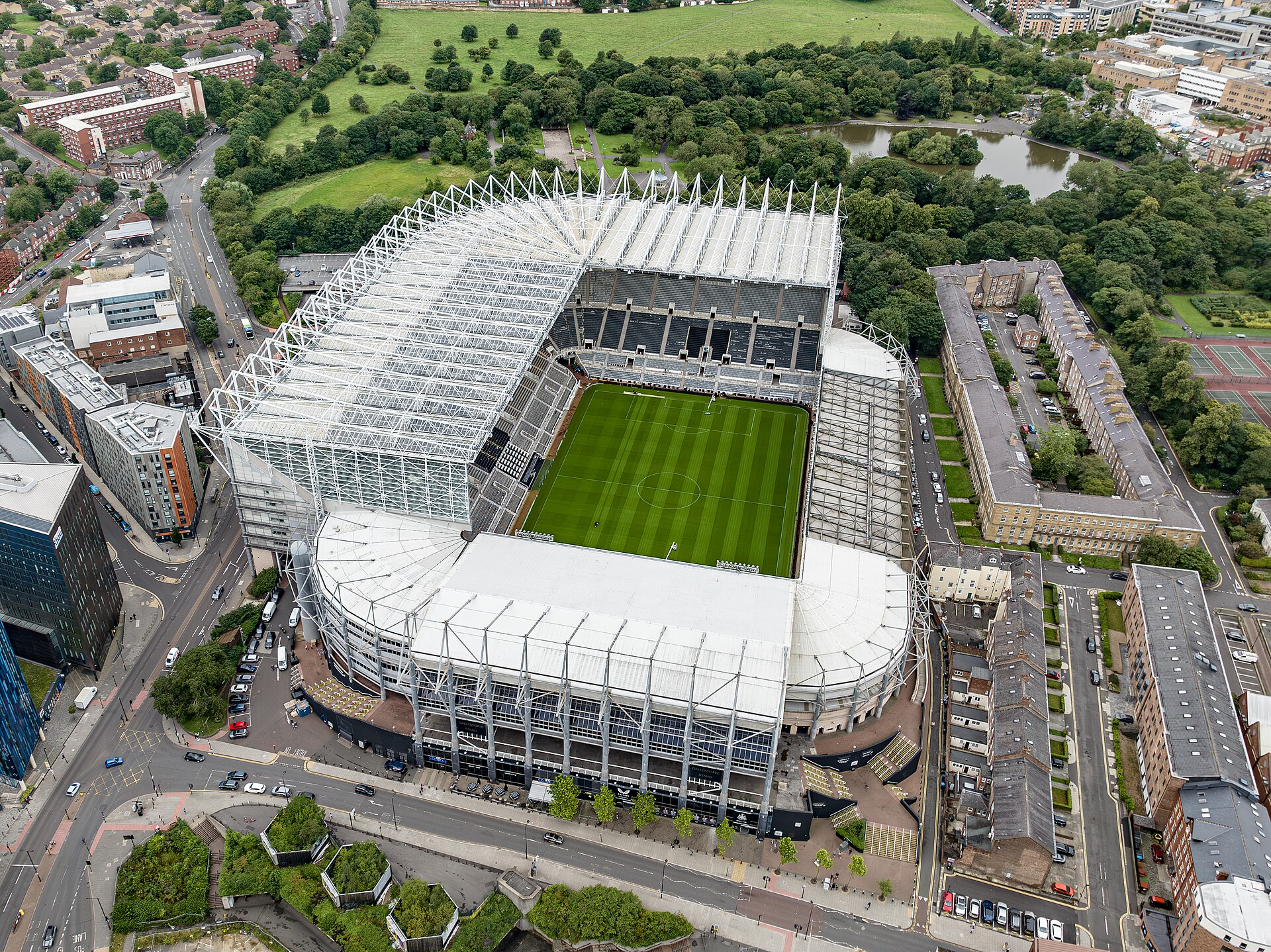
venue
Newcastle upon Tyne

venue
Newcastle
venue
Newcastle
heritage
Newcastle upon Tyne
Walks nearby
Assigned walks plus nearby routes within a short drive.

easy · 3.7km
Newcastle upon Tyne
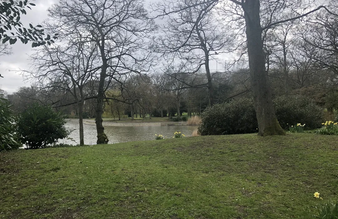
easy · 2.4km
Newcastle upon Tyne

moderate · 21.4km
Newcastle upon Tyne
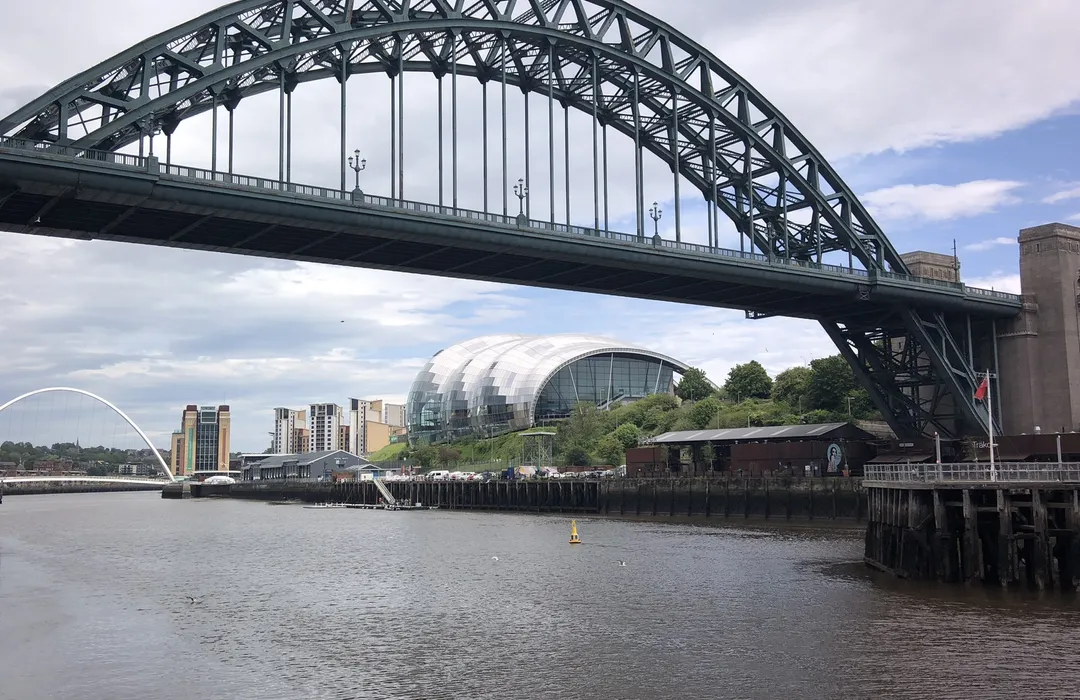
moderate · 22.4km
Blaydon-on-Tyne
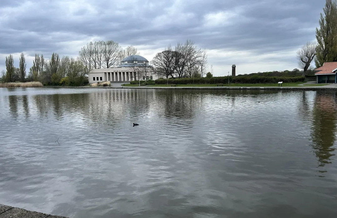
easy · 3.5km
Newcastle upon Tyne
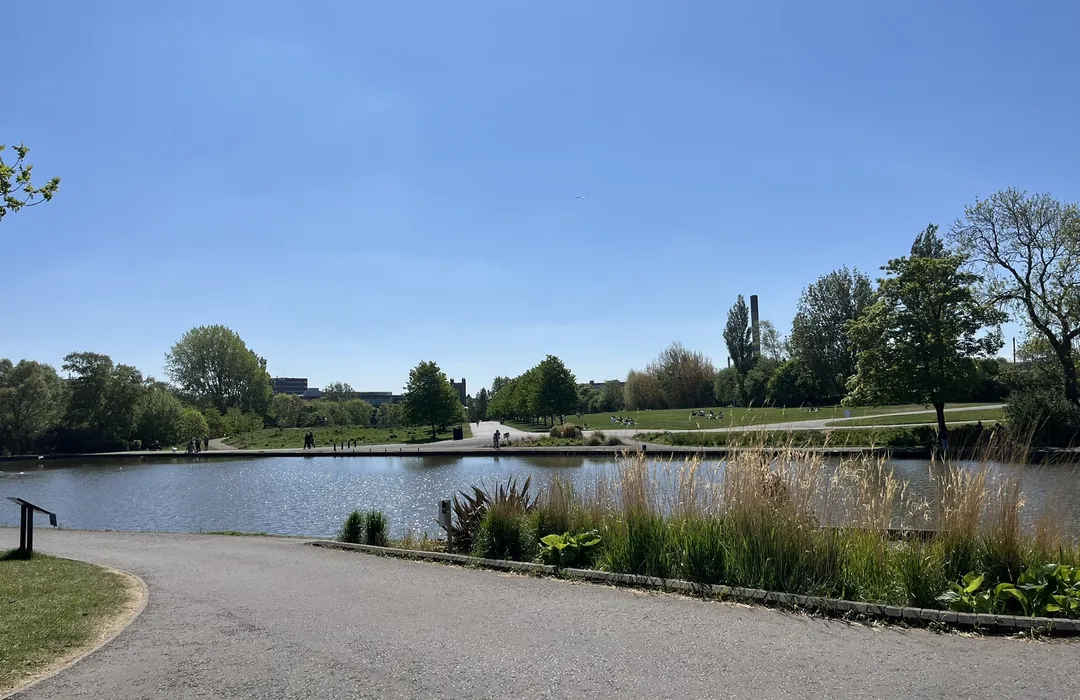
easy · 5.5km
Newcastle upon Tyne
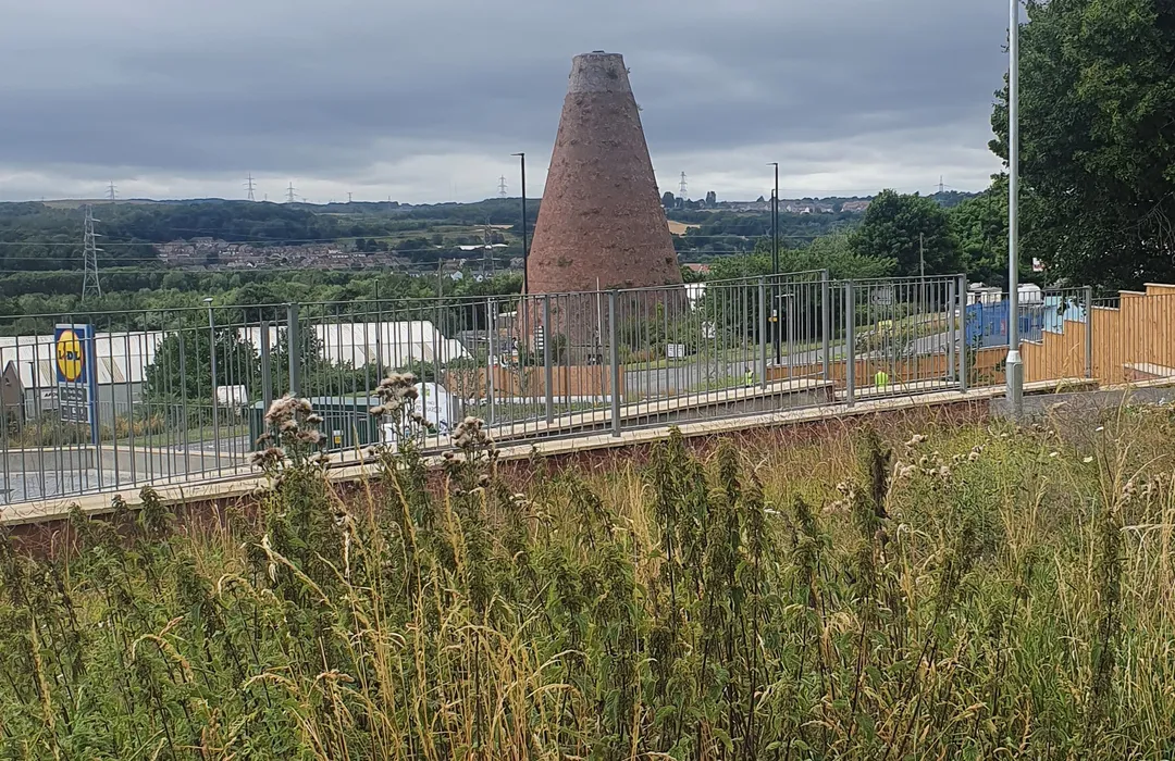
moderate · 8.7km
Newcastle upon Tyne
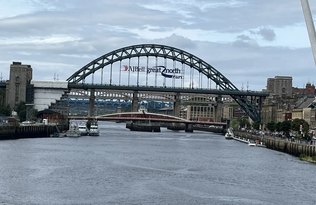
easy · 4.7km
Newcastle upon Tyne
MyTyne directory
Places near Fenham from the MyTyne directory.
What's on

Mon 13 Jul · Standard
Leazes Park · Newcastle
Mon 13 Jul
Leazes Park · Newcastle
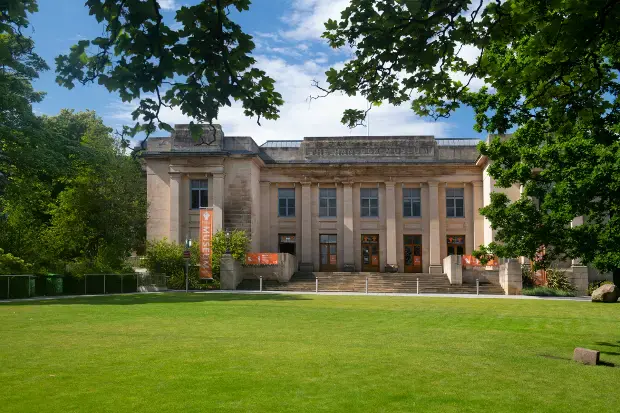
Mon 13 Jul · Standard
Great North Museum: Hancock · Newcastle

Mon 13 Jul · Standard
Great North Museum: Hancock · Newcastle
Tue 21 Jul · Standard
Great North Museum: Hancock · Newcastle
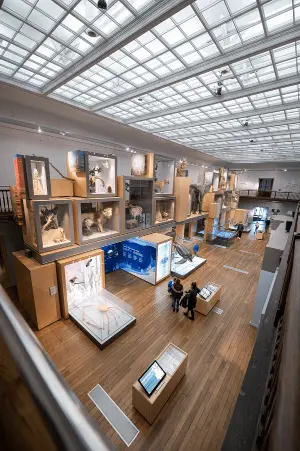
Wed 22 Jul · Standard
Great North Museum: Hancock · Newcastle
Fenham · 54.9848, -1.6553
Map data © OpenStreetMap contributors.
Explore the map, browse nearby guides, and find what's on across Tyne & Wear.