I
History
Unlike Sheriff Hill, Carr Hill and Low Fell, Deckham's history is sparsely recorded. It indicates that, by the middle of the 19th century, there was a small settlement which was part of Gateshead Fell; a wild and…
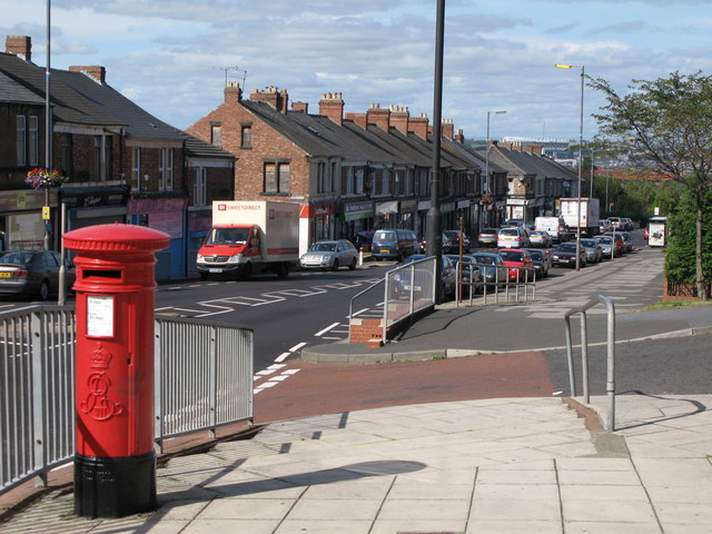
Deckham is a residential suburb in the Metropolitan Borough of Gateshead in Tyne and Wear, England. It is bordered by Gateshead town centre to the north, Sheriff Hill to the south, Felling and Carr Hill to the east and Shipcote to the west. It lies on the B1296, the route of the old Great North Road, 1 mile (1.6 km) south of Gateshead town centre, 1.5 miles (2.4 km) south of Newcastle-upon-Tyne and 13 miles (21 km) north of the city of Durham. In 2011, Deckham had a population of 9,938.
County
Tyne and Wear
Known for
Human settlement in England
The story of Deckham — from the archive to today.
Unlike Sheriff Hill, Carr Hill and Low Fell, Deckham's history is sparsely recorded. It indicates that, by the middle of the 19th century, there was a small settlement which was part of Gateshead Fell; a wild and…
Unlike Sheriff Hill, Deckham was not founded on heavy industry. It developed primarily for its ease of access to the turnpike road, the principle route between Durham and Newcastle-upon-Tyne which ran through it. There…
Deckham, at latitude 54.95° N and longitude 1.59 ° W, lies less than 1 mile (1.6 km) south and east of Gateshead town centre between two main transport corridors; Sunderland Road to the east and Old Durham Road to the…
Deckham is a council ward in the Metropolitan Borough of Gateshead. It is approximately 1.5 square kilometres (0.58 sq mi) in area and has a population of 9,228. It is represented by three…
According to the United Kingdom Census 2001, Deckham has a population of 9,228– 51.5% of the population are female, slightly above the national average, whilst 48.5% are male. Only 2% of the…
Deckham has three buildings listed by English Heritage. They are 33 and 35 Fife Street and the Church of St George. The flats at 33 and 35 Fife Street, in Mount Pleasant, are Grade II Listed…
Deckham has several public houses. The Plough Inn on Old Durham Road and is evidenced on the ordnance survey map in 1862 where it is shown as 'Speed the Plough'. The Shakespeare Inn is on Split Crow…
Venues nearby
Museums, theatres and attractions — not business listings.
Walks nearby
Assigned walks plus nearby routes within a short drive.
moderate · 2.4km
Gateshead
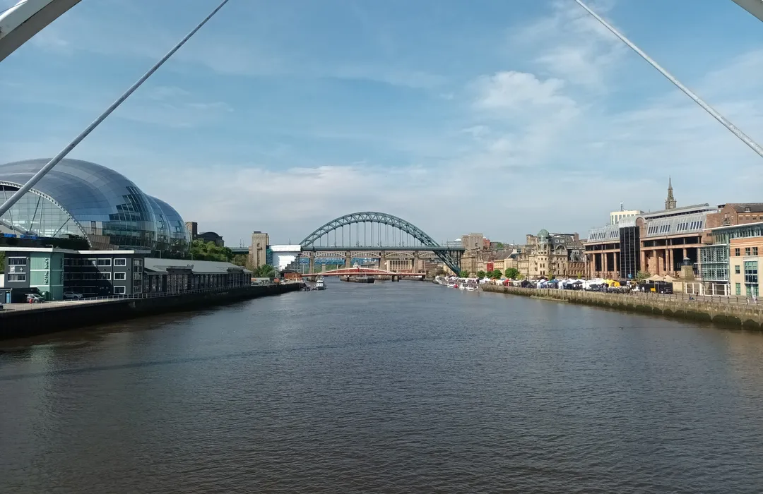
moderate · 7.9km
Newcastle upon Tyne
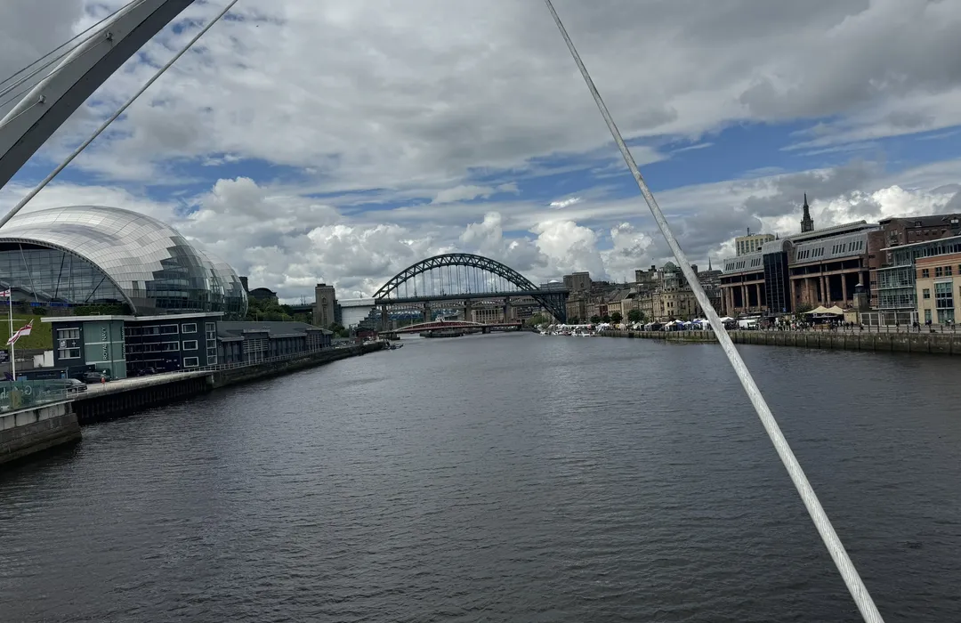
moderate · 8.9km
Newcastle upon Tyne
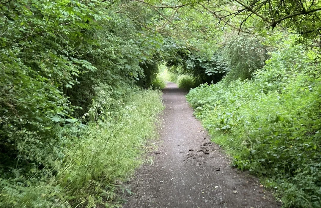
moderate · 8.5km
Gateshead
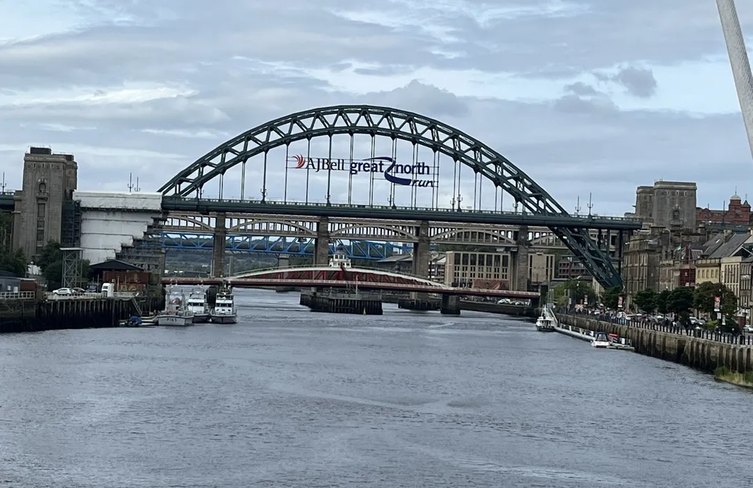
easy · 4.7km
Newcastle upon Tyne
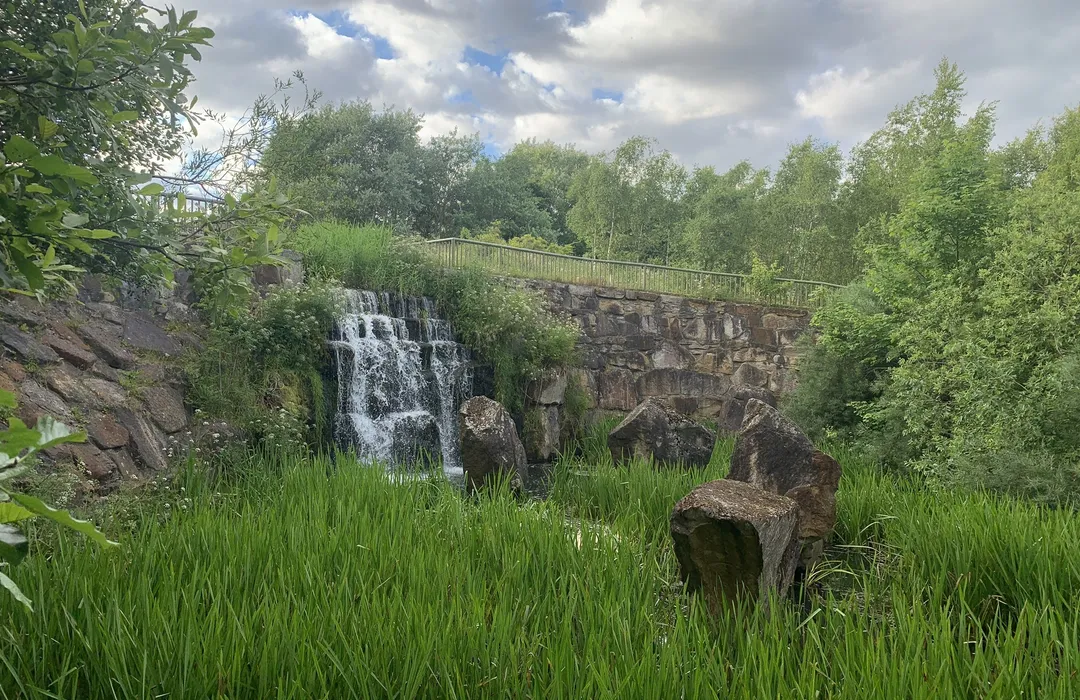
easy · 4.7km
Gateshead
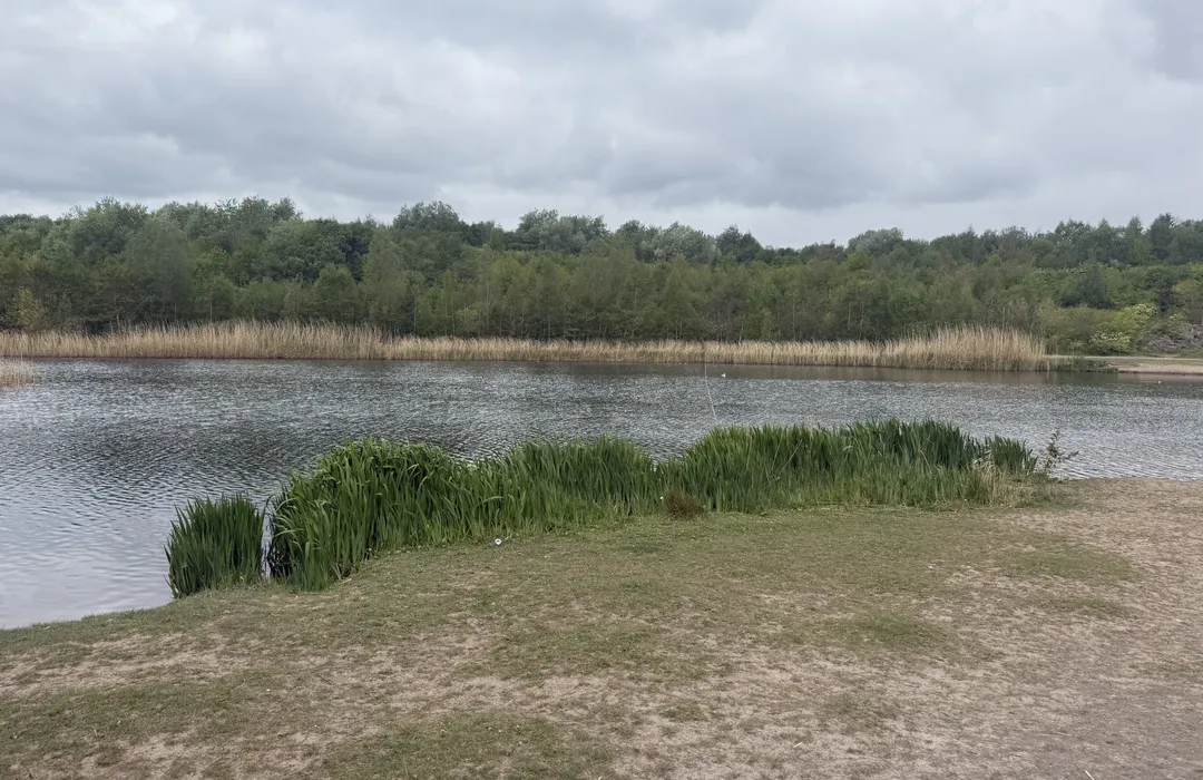
easy · 2.3km
Gateshead
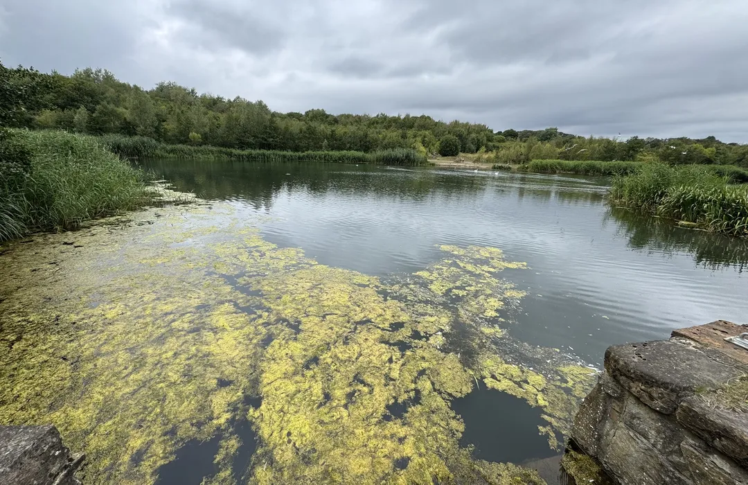
moderate · 13.8km
Gateshead
MyTyne directory
Places near Deckham from the MyTyne directory.
Delis & Farm Shops
Felling
Takeaways
Gateshead
Cleaners
Gateshead
Accountants
Gateshead
Estate Agents
Gateshead
Photographers
Gateshead
Insurance Brokers
Gateshead
Plumbers
Gateshead
What's on
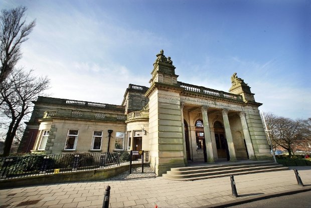
Tue 21 Jul · Standard
Shipley Art Gallery · Gateshead
Thu 23 Jul · Standard
Shipley Art Gallery · Gateshead

Fri 24 Jul · Standard
Little Theatre · Gateshead

Sat 25 Jul · Standard
Little Theatre · Gateshead
Fri 24 Jul
Vue Gateshead · Gateshead
Wed 15 Jul · Standard
Vane · Gateshead
Deckham · 54.9500, -1.5910
Map data © OpenStreetMap contributors.
Explore the map, browse nearby guides, and find what's on across Tyne & Wear.