

Discover Cradlewell
Cradlewell is an area within Jesmond, Newcastle upon Tyne, England. It is most noted for its spired church and its public house, 'The Cradlewell' which opened in 1904 and later closed, for conversion to a hotel & restaurant. It developed as the main road crossing point of the steep Ouseburn valley. Jesmond Dene is close by.
County
Tyne and Wear
Known for
Human settlement in England
About Cradlewell
Cradlewell is an area within Jesmond, Newcastle upon Tyne, England. It is most noted for its spired church and its public house, 'The Cradlewell' which opened in 1904 and later closed, for conversion to a hotel & restaurant. It developed as the main road crossing point of the steep Ouseburn valley. Jesmond Dene is close by. The name may simply be from a cradle shaped horse trough situated at the edge of Jesmond Road in a prominent position. The historic Armstrong Bridge emerges into Cradlewell with Jesmond Dene to the north and Jesmond Vale to the south of the bridge. In 1993 work began on a bypass for the Cradlewell area, replacing the very steep Benton Bank as the main thoroughfare. It joined the A1058 Coast Road with the Central Motorway after much protest from people who were opposed to cutting down so many ancient trees. There were tree-top demonstrations that held up the construction for a long time. == References ==
Venues nearby
Places near Cradlewell
Museums, theatres and attractions — not business listings.
heritage
Entrance Archway, Pair of Chapel Lodges, Walls and Gates to Jesmond Cemetery
Jesmond
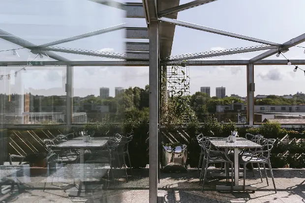
venue
The Biscuit Factory
Newcastle upon Tyne
venue
Stepney Road
Newcastle upon Tyne
venue
Shanti Bee
Newcastle upon Tyne
venue
Billy Bootleggers
Newcastle upon Tyne
venue
The Cumberland Arms
Newcastle upon Tyne
venue
Byker Enterprise Centre
Newcastle upon Tyne
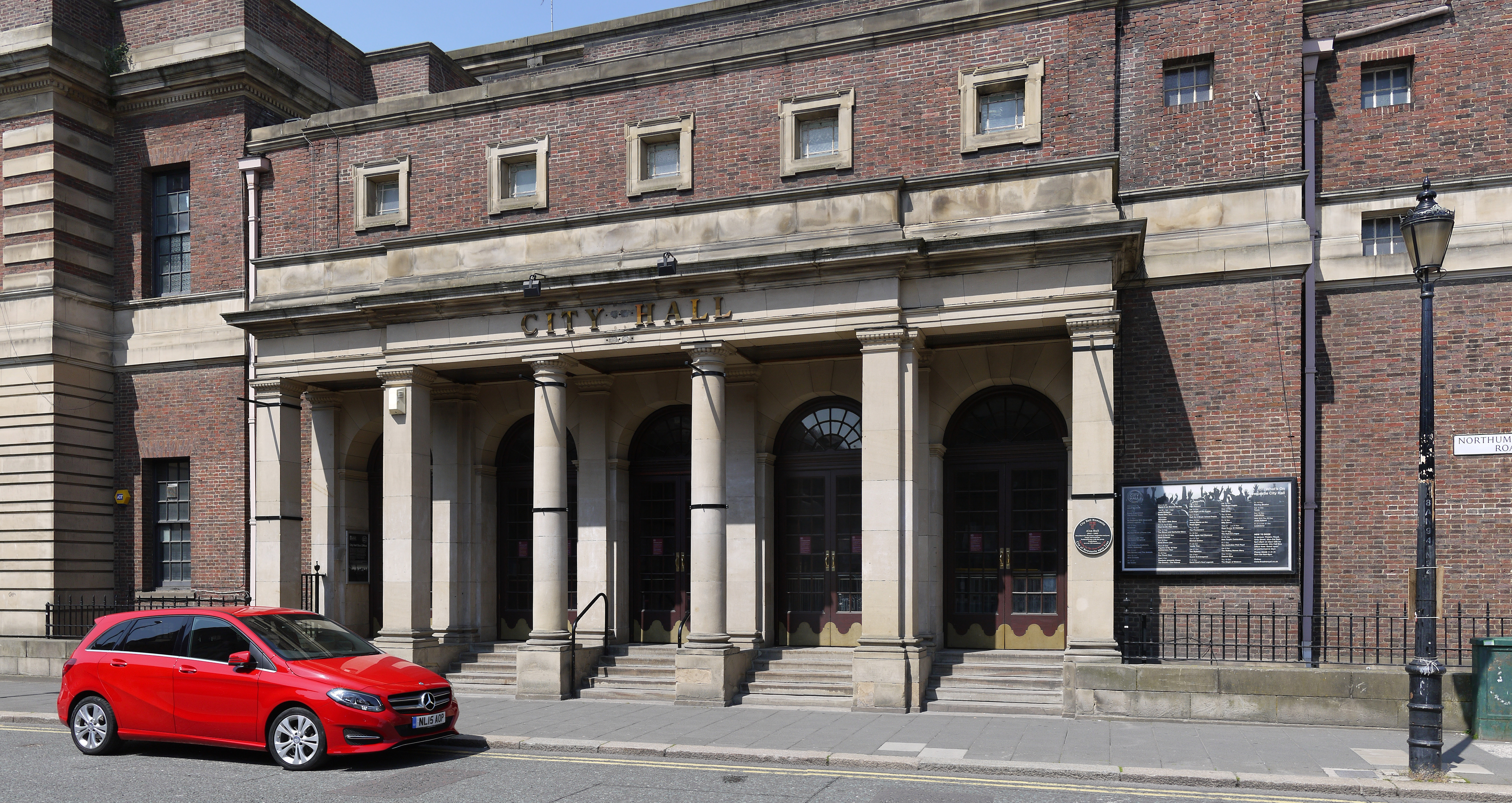
venue
O2 City Hall Newcastle
Newcastle upon Tyne
Walks nearby
Trails near Cradlewell
Assigned walks plus nearby routes within a short drive.
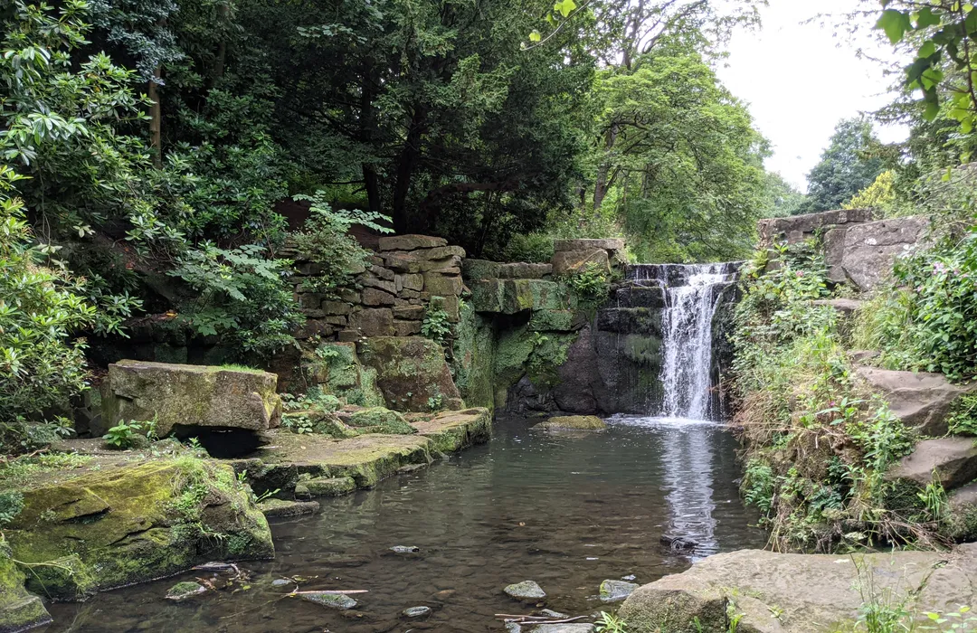
easy · 5.6km
Jesmond Dene and Armstrong Park Circular
Newcastle upon Tyne
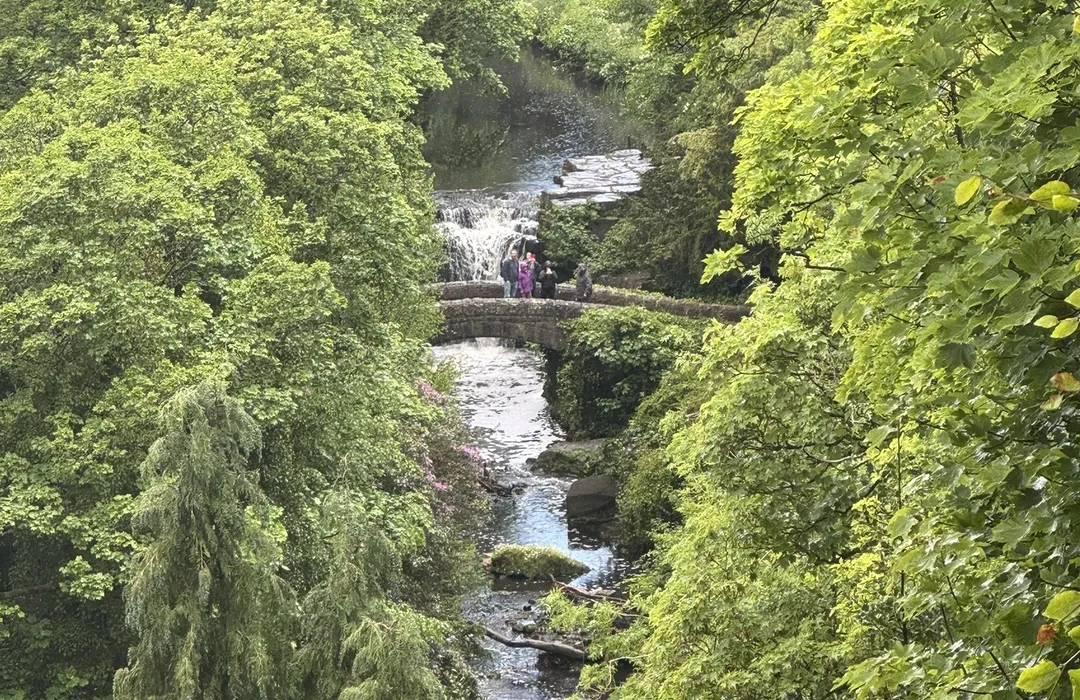
easy · 3.4km
Jesmond Dene to Paddy Freemans
Newcastle upon Tyne
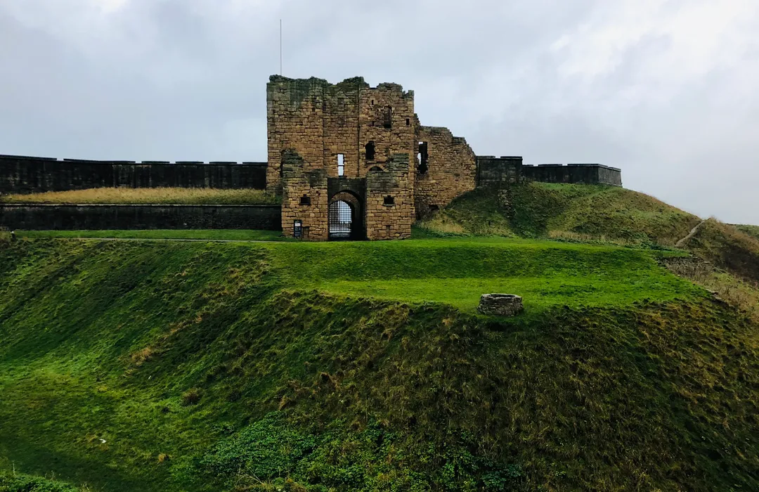
moderate · 37km
North Shields / Tynemouth Loop
Newcastle upon Tyne
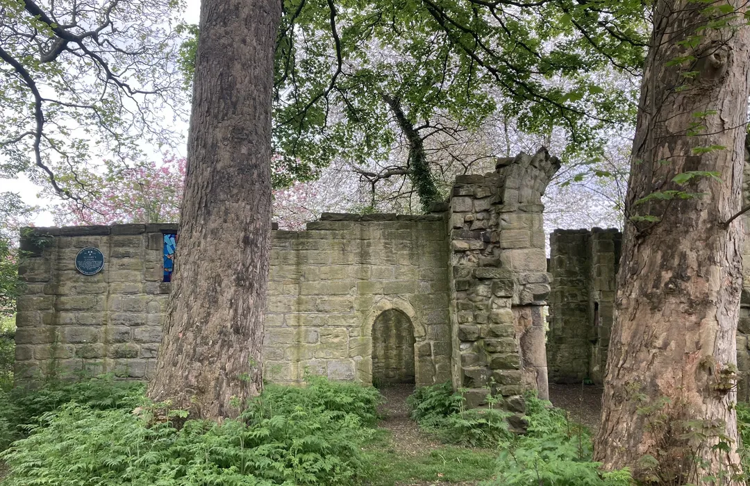
easy · 4.5km
Newcastle Cathedral Pilgrimage from St Mary's Chapel
Newcastle upon Tyne
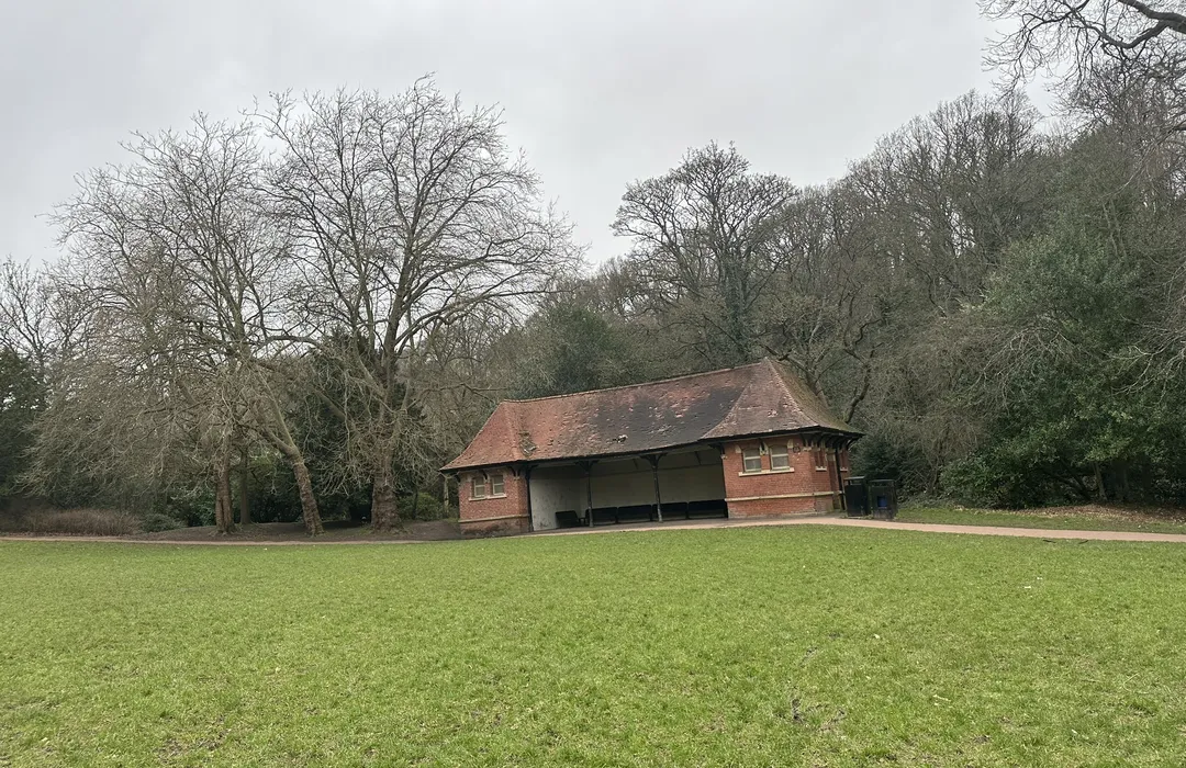
easy · 7.1km
Jesmond Dene and Armstrong Park
Newcastle upon Tyne
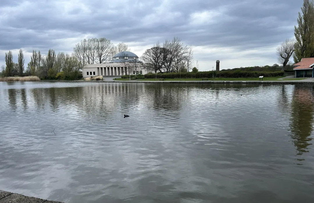
easy · 3.5km
Town Moor Circular
Newcastle upon Tyne
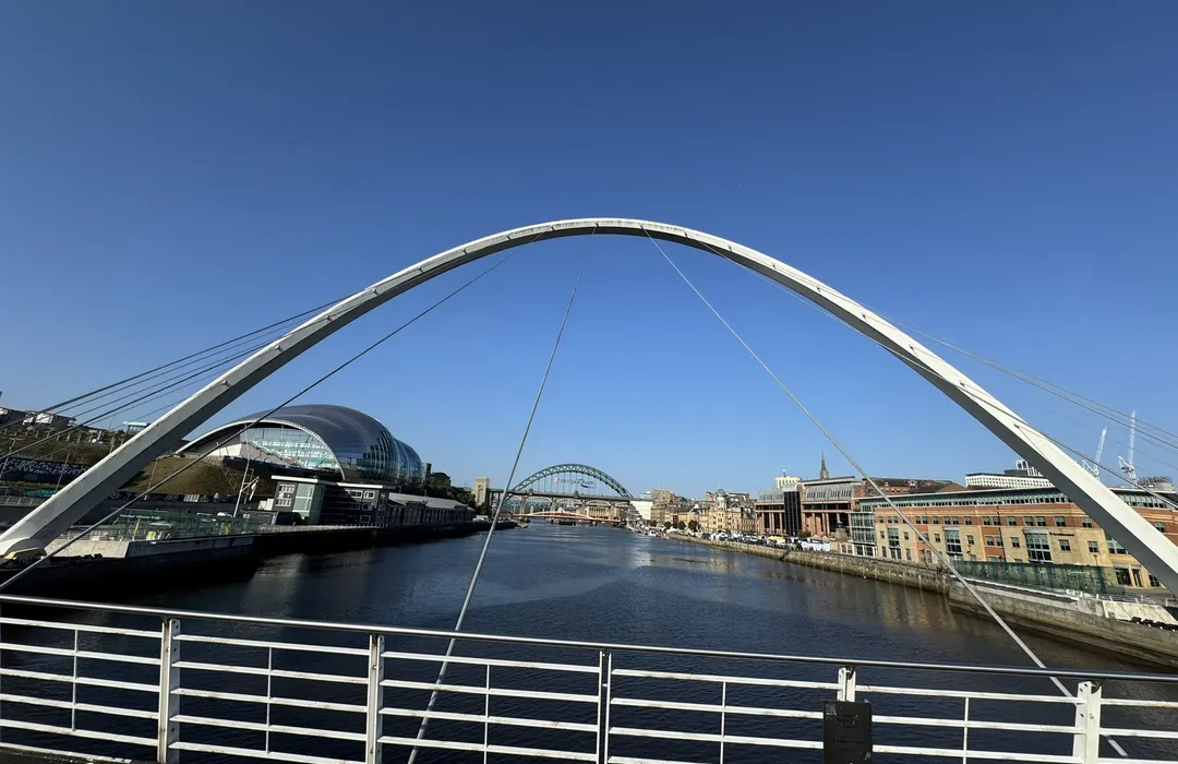
moderate · 22km
Jesmond Dene to Wylam
Newcastle upon Tyne
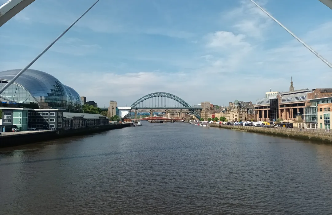
moderate · 7.9km
Hadrian’s Wall West to East: Newcastle Quayside to Wallsend
Newcastle upon Tyne
MyTyne directory
Local businesses
Places near Cradlewell from the MyTyne directory.
Clinics
The Cradlewell Clinic
Jesmond
Hairdressers
Ob Group Limited
Jesmond
Architects
Victoria Ramez Architecture Ltd
Jesmond
Takeaways
Dene's Deli
Jesmond
Cafés
Purlieu
Jesmond

Takeaways
Jesmond Tandoori
Jesmond
Jesmond Tandoori is your go-to for authentic Tandoori takeaway in Newcastle upon Tyne.…
Cafés
Lean Cuisine
Jesmond

Hairdressers
Panelle
Jesmond
In Jesmond, Newcastle, our Hair Salon combines the highest standards in unisex…
What's on
Events near Cradlewell
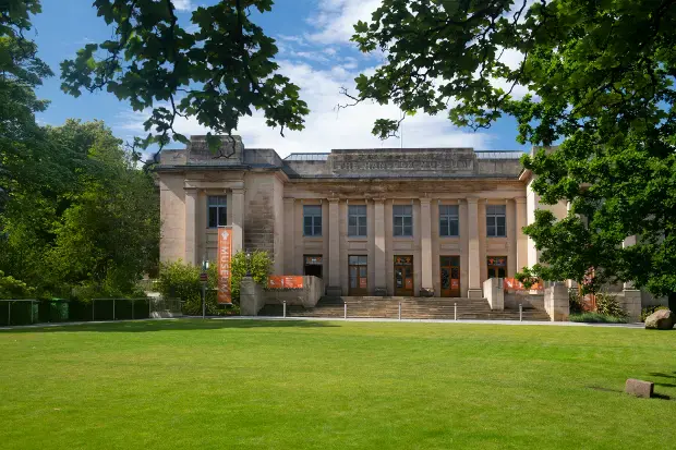
Mon 13 Jul · Standard
Treasure Museum Trail
Great North Museum: Hancock · Newcastle

Mon 13 Jul · Standard
Treasure: Hidden, Lost, Found
Great North Museum: Hancock · Newcastle
Tue 21 Jul · Standard
Treasure Tuesdays - Great North Museum: Hancock
Great North Museum: Hancock · Newcastle
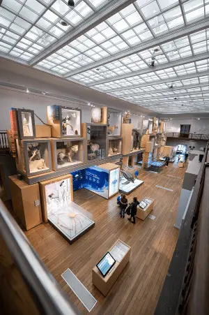
Wed 22 Jul · Standard
Relaxed Early Opening
Great North Museum: Hancock · Newcastle
Wed 22 Jul · Standard
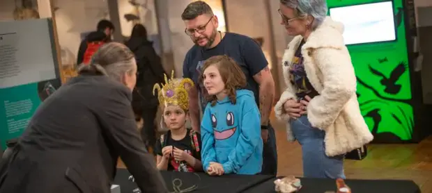
Archaeology day
Great North Museum: Hancock · Newcastle
Thu 23 Jul · Standard
Time Odyssey: A Family Adventure
Great North Museum: Hancock · Newcastle
Explore the map
Cradlewell · 54.9880, -1.5920
Map data © OpenStreetMap contributors.
Plan your visit to Cradlewell
Explore the map, browse nearby guides, and find what's on across Tyne & Wear.